We set of at a leisurely hour today as we are not in a rush to get anywhere. We set the washed on again to finished everything that needs doing and then pulled the boat back to fill up with water again before setting off what you feel is north but is actually west!


This family was scaring passers by on the tow path before taking to the water. they have done well to have eight large and very healthy looking cygnets still.

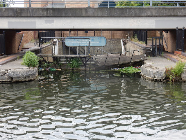
This dry dock is hidden below the access road to the back of the Tesco store. Apparently Tesco refurbished it but it is looking a little the worse for wear now and it is not usable, or so it says. I think it was used by the Grand Union Canal Carrying Co. Ltd.

A liitle past the junction with the Paddington Arm is the Nestles Factory. It has been sold now so the smell of coffee wont be sniffed as you pass any more. The factory was built in 1913 to make Chocolate. It was bought by Nestles in 1916 and then converted to make freeze dried instant coffee in 1939. It closed last year and the production moved to Derbyshire. I'm sure the apartments in the background weren't there two years ago when we passed. The factory will no doubt sport flats etc in the future as it is a development company that have bought the land.

Just past the Nestles factory is Shackles Dock. In 1938 this short arm used to service factories for X Chairs Co., Scotts Jam Company, Smith's Potato Crisps and Kandya. The little plaque on the bridge says that the bridge refurbishment was funded by Nestles for the 200 years of the Grand Junction canal.

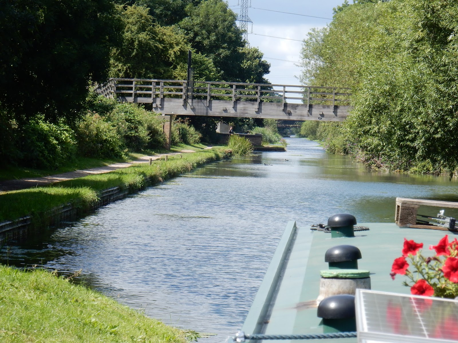
This photo shows that it isn't all factories etc.

New bridges built before the amalgamation to make the Grand Union.

We were soon at the turn into the Slough Arm at Packet Boat Marina.
The canal looks dead straight for miles, and it almost is.

Tucked behind Bridge No.1 is a a London Coal Duty marker. This shows that coal carried past here was liable to pay duty. I think there was also one for wine too. There are about 200 of them left around the outskirts of the capital. Inscribed on the marker is the London Coat of Arms and the marks 14&15 VIC, C. 146. This apparently means that it was erected following an Act of Parliament in the 14 and 15th year or the reign of Queen Victoria,m which is 1851/52. C.146 is the chapter of the Act that refers to the markers. The tax had been implemented from Medieval times but these posts were set up following the Acts of 1851. The money had been used for construction projects but the tax wasn't liked as the money wasn't spent in the whole area where it was raised, which was the Metropolitan Police area. They were finally cancelled in 1890.

Construction of the Slough Arm in 1880 and it was all opened by the end of 1882. There were only two canals built later than this. Just about the only cargo was bricks that were made from the clay deposits of the Colne Valley to build London. When the bricks were finished the pits were used for land fill so a back cargo continued for a while but this finished in 1960. There are thoughts that a link could be made to the River Thames from this arm to cut out the tidal section from Brentford to Teddington.

I can't remember a town with a canal that has made less effort to entice canal users to venture up the 5 miles of canal. There is nowhere to moor anywhere near the end, there is now little bit wider bit of towpath. The end has no noticeboard with directions etc. There is no tap or bins or anything. It seems that the use it or lose it idiom may not be needed here as there is no effort put in to make you want to use it! We winded and moored a little past Bridge 12. From there it is about a 20 min walk into the town and the shopping centres. The biggest thrill was to see David Brent, all be it on a film poster, but we are in Slough.
2 comments:
My favourite comment about the end of the Slough Arm is that when you get there, you find there's no there there!
You are right there! I don't think I would bother with there and back to see how far it is even.
Post a Comment