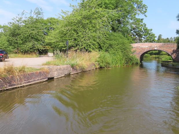
Another nice day and off at our normal time of around 09:30.
These are the mile posts on the Ashby Canal. I think they have been changed recently to reflect the assumption that the canal will be opened all the way to the end. Funnily enough on the old OS maps the mileage is given as a total of 31 miles and the northern terminus as Reservoir. This refers to the Reservoir Colliery that was on the east bank at the end of the canal.
Soon after the tunnel and our moorings was Gopsall Wharf. This seems to have been set up when the canal opened. It seems to have a small warehouse and shed and they were there at least until 1920's. The canal north of Snarestone was closed in 1966 so coal could not be loaded at the pits. Instead a temporary wharf was set up in Market Bosworth. This was deemed not really a long time solution due to traffic problems. In1967 the idea of Gopsall Wharf being used came to fruition in 1968. When the land was leased from the Crown Estates and the Coal Board and British Waterways came to an agreement about the costs of improving the wharf and dredging the where necessary. The local fishing community were very pleased as they had resorted to buying a narrow boat and allowing its members to take it up and down in an effort to keep the weed in the canal down.
From the Burton Observer of February 1968.
It seems the coal run did not get going until June 1969 when 100 tons of coal a week from Donnisthorpe Colliery were loaded at Gopsall Wharf and taken to Watford. 5 pairs of boats were used and they were profitable as they could do it for 2 or 3s per ton cheaper than by road. It would be even better if they could get a backload.
There is that dappled shade again.
And another of these bridge reflection pictures, just as we leave Gopsall Woods.
I wondered what the ornate bridge rails were right next to the aqueduct over the River Sence. It turns out is was the original road to the Shakerstone Station
We were moored up just before Bosworth Marina as today, 2nd August, was an important date, Helen's birthday. On the road up to the village was the old workhouse. It was opened in 1836 and was for 200 inmates and cost £3,000. It was a union of 28 local parishes. The one (and a half) story building to the right is called the board room and was added in 1905. It was later used by the local council. In 1979 the cruciform building behind the facade was demolished retaining just the front part, to make way for a housing development. The property is flats by the look of it.
We had plenty of time so we had a look round the church and had a nice chat with the flower arranger in there. A terrible picture of a carving on the rood screen.
St. Philips was built on the site of a previous church. This building was started around 1325 and finally finished in this form in the middle of the 1400's. The Victorians had a go at changing it, but it is largely the same.
We had a lovely meal at the Black Horse. It was steak night so we had a..... steak! We even had a pudding. It was a fine feed.
On the Market Place is the Dixie Independent School. There was a school in the town in 1320 but it got the present name in 1601 when a bequest for the school was left by a local man Sir Wolston Dixie. He had made it good as a merchant and also became Lord Mayor of London. In 1969 the school closed as local comprehensive grew. In 1987 a trust had been set up and the school was re-opened as an Independent school for boys and girls.
We swayed our way the mile down to the canal and an early night after a lovely day. Happy Birthday Helen.


3 comments:
The mile posts installed by the Ashby Canal Association have always shown the distance to the very end of the fully restored canal. However someone doesn't agree with this and defaces some in the final 4 miles of navigable canal
Hi Both, it always amazes me what people get vexed about. Are they upset that the are calling it 30 miles instead of the 31? Or that they should measure it to what is navigable at present? Or some other grievence?
They insist the terminus is where it is now
Post a Comment