As rain was due by lunch time we went to bed with every intention of getting up and off earlier than usual. However with a cup of tea in bed listening to the radio and then a phone call we were even later than normal, but only by about 20 minutes. The long line of boats had been whittled down and every one was pointing the wrong way for a hope of sharing with us.

On the way to the locks I noticed this concrete fence. I don't think I have seen one imprinted with TRESPASSING PROHIBITED before. The fence must have been erected at the same time as the locks and banks were altered for the 100 ton barges as it is the in vogue concrete used then. Reading on a bit the Hatton Locks were opened by Prince George, Duke of Kent on Tuesday 30th October 1934 when he cut the silk ribbon. He was still saying that the plan was to allow passage of 100 ton barges from London to Birmingham. So I'm not sure when they gave up on the dream. I think they had a route that could take vessels of a beam up to 12' 6", but never changed all the bridges etc to take the planned for 14'3".

By the time we got close to the bottom, or Itchington Lock we could see that there was a boat going up on their own. They had left before we could chat with them, but they didn't seem to be speeding along so we hoped that we would catch them up by the next, Shop Lock. This was the lock cottage at the lock with a date given as 1799, which would fit in to the opening of the original narrow Warwick and Napton Canal.

The Kayes Arm was quite extensive in its day.

This 1885 map extract show the main canal across the top and the arm leading south to the Long Itchington Cement and Lime works, with the Stockton Reservoir of the Warwick and Napton Canal Co. Leading away from the factory to the south is a mini railway that must have brought the rock from the quarry.

Just east of the Kayes Arm and leading off the towpath side was another 'arm'. This one had no towpath indicated and led to no factory or farm. In the photo above, by the willows to the left you can see where the canal widens a little seemingly to assist boats leaving this 'arm'.

This is the same 1885 OS map with the arm heading north. It is not a feeder as there is no stream or anything coming in at its top end, and appears to be only one boat wide if intended to be used

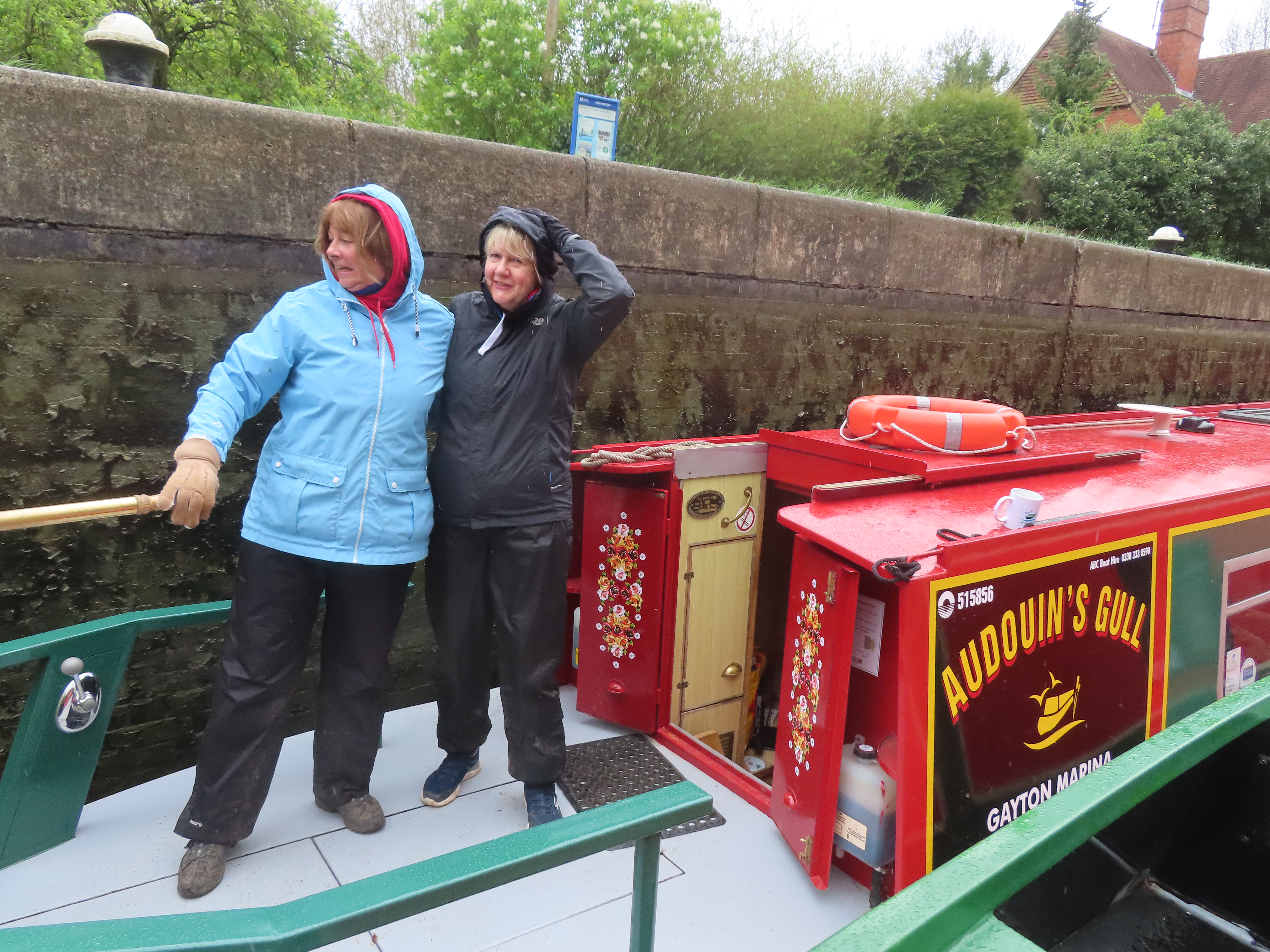
The hire boat had waited for us so we did the rest of the flight with them.

The were two couples of friends who had hired before. The girls were driving today and they were very nervous about it all. Husbands were on the shore and they appeared to be hesitant about what to do there too.
By the time we did the second lock together they had gamely agreed to enter the next lock together and Annie (In Black) did brilliantly for a couple of locks. We met a pair of boats coming down so we let them come through the middle of us before entering separately.

The Stockton Locks must have been a hive of industry, literally, as by Locks 9, 10 and 11 was the largest cement and lime works. You can see that this works was linked with the Weedon and Leamington Railway as well as the canal wharves. It looks like there are at least 15 lime kilns fed by narrow gauge railway from the nearby quarry and the lines also pass between the buildings too.

By the time we got to the top lock Debbie had done a couple of locks with us entering as a pair too. They were well impressed with themselves, and so they should have been. They were fed up with the men folk telling them how to do it. I gave them a few other tips and hoped that they have gained a bit of confidence and carry on and hang on to the tiller a bit more.

Nelson Wharf used to be busy with training boats and courses but now seems to have resident boats down the arm that has been partially dug out and had 'Podtastic' glamping pods. This was actually the site of the largest cement works of the area.

The arm can be seen here with 34 lime kilns! Again there is a narrow railway from the quarry but isn't connected to the railway system as the railway was only built between 1888 and 1895. This is the line that ran through Braunston too. It is interesting to see there is a winding hole,(or maybe even a wharf) next to Gibraltar Bridge to the right of the extract. That isn't there now. I wonder if the concrete used for all the works to widen the locks and reinforce the banks used cement from these works as they were still working in the 1930's?
It started to rain lightly as we left the top lock so no more photos. Our lock partners stopped for a coffee and we went onwards. We were booked in to Calcutt Marina for some work, hopefully tomorrow and they had said we could drop in this afternoon to get settled ready for tomorrow. We threaded our way in and swung round to where they sent us and have the afternoon off!
No comments:
Post a Comment