We were both in bed early after our exertions yesterday and slept undisturbed. The sun was shining again when I got up to make the tea. I popped my head outside just in time to see the boat checker taking our number. There was been now news nationally about the death in Aylesbury, but I expect they have all be given advice about the situation.
I don't suppose it would have been so quiet here before 2011 when the Thomas Bolton and Sons factory closed down. The company started in Birmingham in 1783. It closed there in 1911, but in 1852 they bought the Cheadle Copper and Brass works that had a factory in nearby Oakamoor. Eventually that site expanded and more room was needed so they started at Froghall too. The site semmed a starnge place to build a copper works but originally they used copper ore mined at Ecton in the Manifold valley, not too far away. In 1857 the company manufactured the first transatlantic telegraph cable and in 1892 they concentrated on high conductivity wire for telegraph and electric uses. In 1920's it was found to expensive to refine copper from ore so they stopped and concentrated on manufacture of copper plates for locomotives fireboxes and their boiler stays. They became part of BICC but suffered short term cash flow problems and were closed in 2011.
As you can see there were many chimneys, and at one time they were all going to be knocked down when the site was cleared, but the one was saved. It is nice to see a narrow boat there too, in the 1950's.
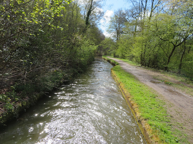
Once the canal was reopened there were repeated breaches in this section of the canal. The frequent narrows are when the canal has been placed in a concrete channel.
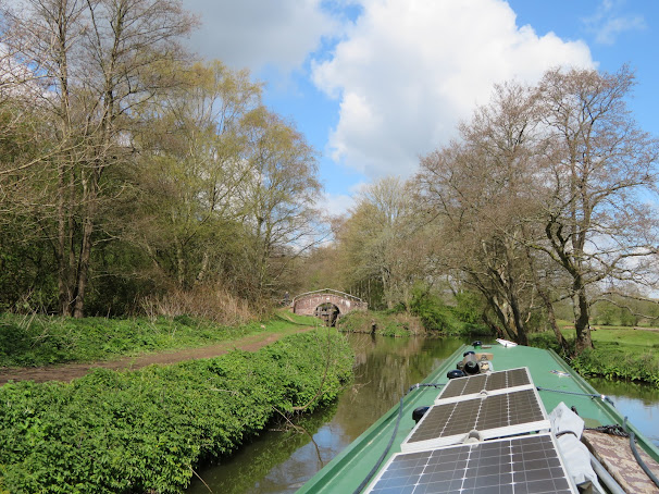
I'm not sure whey the width of the bridge is different of the other stone built bridges on this section of canal but Cherry Eye Bridge's arch is less wide so giving it the peak. It is named after the how the eyes of the ironstone miners looked when they came out from underground. I expect the red oxide dust would have stuck around the moisture of their eyes, and the red stone archway would remind them.
At the foot of Flint Mill Lock is this profile checker for the tunnel at Froghall. I'm not sure how accurate it is but it does show that we wouldn't have made it through. At the top of the lock seems a little complicated and this is because there was an old lock that was on the opposite side to the mill buildings. It is all filled in now, just the approach can be spotted.
Unusually there is this mile post on the off side, one of the original cast ones, and by coincidence the half way marker too. It is on the offside as the tow path was here until the railway took the land and the towpath swapped sides. They failed to move the post though!
Once on to the river section we again found the flow was minimal and we could enjoy the site as we swung this way and that as the river meanders. There is the river gauge at the Oakmeadow Lock to warn you of high levels, but there is no similar gauge at Consall Forge before the weir.
All along the valley sides you catch glimpses of stone work and buildings in the brush which tells the story of the mining that went on here for a century or more, copper, coal, ironstone etc was found here. On the river sectio I saw these two caves with stone work around.
Looking on the old 1879 map I could see that they were indeed old lime kilns and a shaft head for an ironstone mine.
We had a bit of a wait as there was an hire boat just entering the lock. The couple working the lock weren't too sure of what to do and they were pretty unsteady on their feet which had my heart in my mouth as they got back aboard as the arrangements at the bottom of the lock are not that good.
As I waited this pheasant did want to move as I passed so was able to get a picture.
Not easy to see in this photo but just before the Hazel(Hazle)hurst aqueduct I spotted some stone work and what looked like a filled in arm. I wondered if this was where the original triple staircase locks was situated when the Leek Arm was first constructed but it seems they were built to drop down from the Leek Level before the Aqueduct. Looking on the old maps there was a quarry situated between the aqueduct and the canal and I expect that this was a little arm to load there.
We made good time up the Hazelhurst locks and were soon on our way again. I nearly stuck a flag in this island and claimed it for Yorkshire as it is election day, and everybody seems to want to be independent from everybody else at the moment.
We stopped for water at Park Lane, and dump the gash we had. It is here that the original line of the canal went. I walked up and could see that the house actually looks this way. I am looking down what would roughly have been the old route of the canal were it descended one of the three widely spaced locks in front of the house. You can see the canal behind the red car, and it would have just continued on down the line of the road.
We went a little further and moored up just before Endon Basin. We got settled inside for a late lunch when it started to 'silling it' down so we had timed it just right.


No comments:
Post a Comment