Total Pageviews

Saturday, 19 June 2021

Up The Atherstone Locks and port side pride.

 The sun was shining when I cracked my eyes open, and it turned out to be a rarely sighted orb, but a pleasant day none the less.

Several boats passed starting from about 0630. I suppose they were making up for a wash out day yesterday. We headed off just before 1000. I like this stretch of canal as the waterway gently meanders by the railway and the Pendelinos whizzing past. At this point they are high on an embankment, but close. The lovely trees also help to filter the noise.

After that was a nice open field full of poppies, that always perk me up, despite their morbid associations.

Grendon Dock had the Star Class 'Auriga' and I assume its butty in the dry dock. She was built in 1935 at Harland and Wolff for the Grand Union Carrying Co. and works as a coal boat still. The weather vane is atop the covered dock.
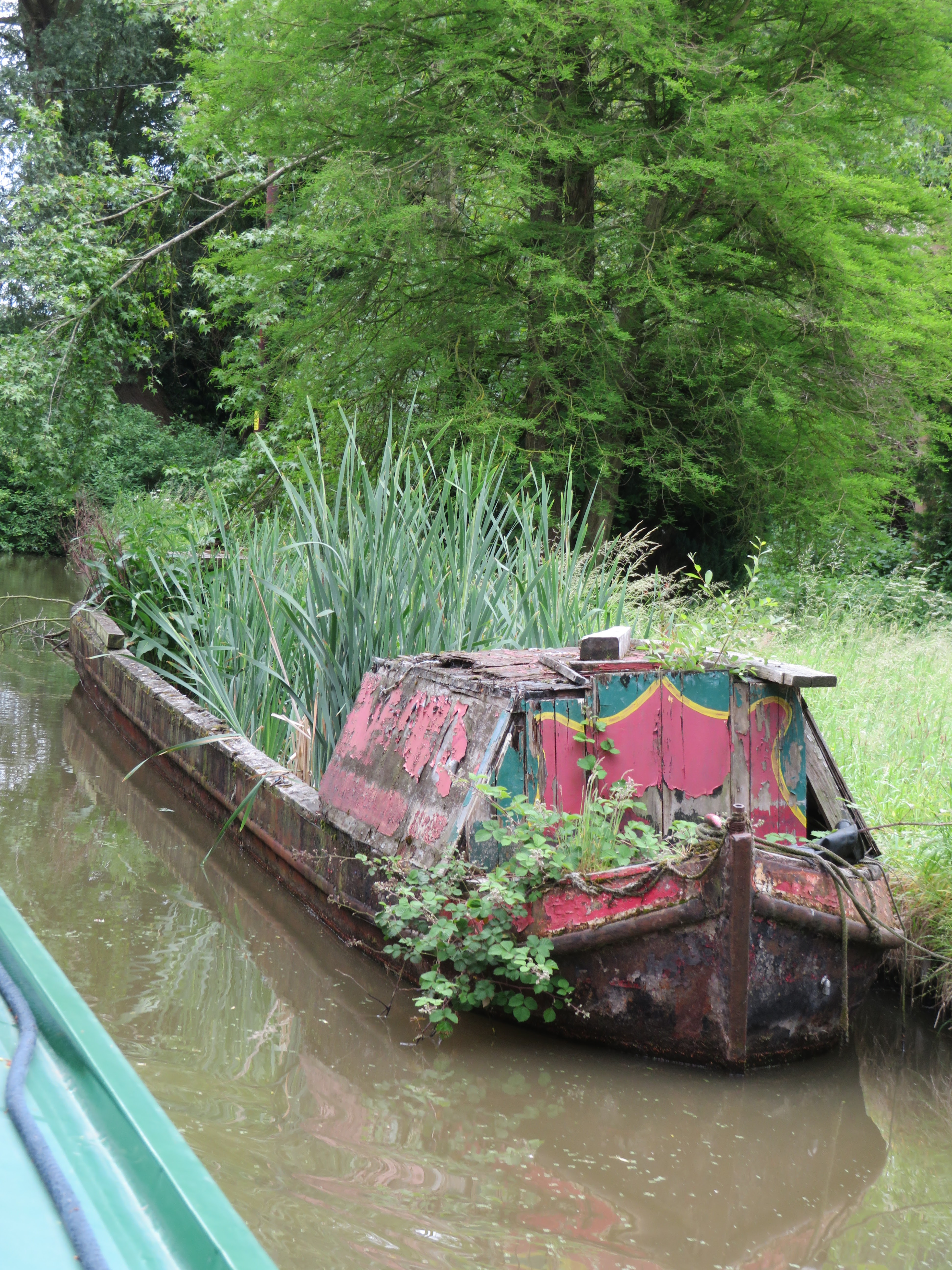
I'm sure somebody will be able to tell me which boat this is just down from Grendon Dock. It reminds me of that C&RT barge that was towed about full of trees as an 'art installation'.

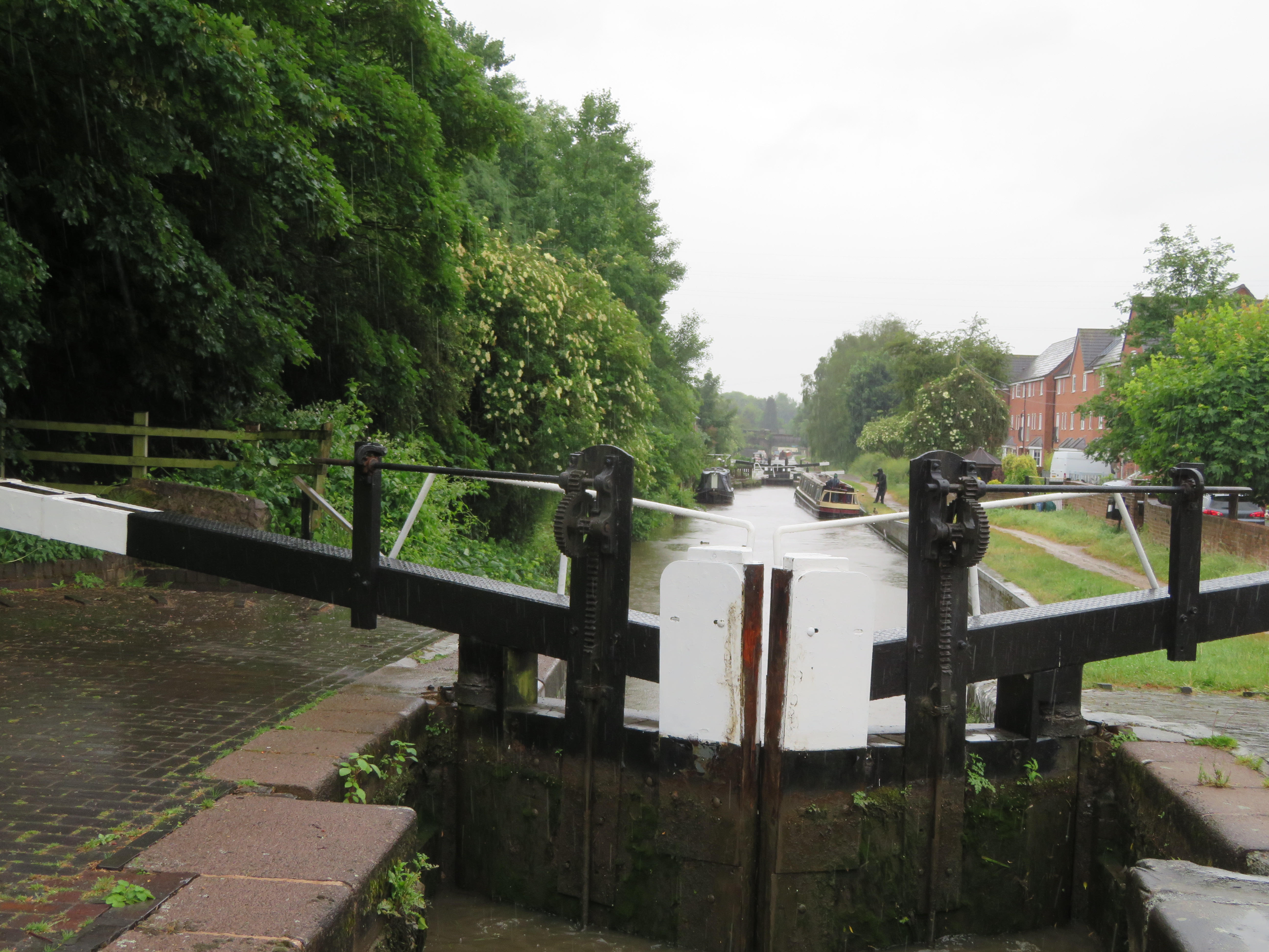
I think the bottom Atherstone Lock was the only one we had to empty all the way up. There were plenty of boats coming down so leaving gates open and driving straight speeds things up.

On the hill to the NE of Atherstone stand Mereval Hall. It was the site of an Abbey of the same name. It has been in the Stratford family since 1649 and is still in their private hands , along with nearby Blyth Hall. The old hall was rebuilt in 1840 and the central square tower along with small corner towers with cupolas.

In the pound between Locks 9 and 10 is this old milestone. I assume the 9 miles is to Fazeley Junction and the 18 to Coventry Basin.

By Lock 7 is Baddesley Wharf that was a coal loading basin from a colliery nearby of the same name.

I have always been intrigued as to why there is an island in the basin. This map of 1901 show it more clearly. It is not served by a rail track so can only be a lay by wharf. I suppose it increases the number/length of quay space for boats to moor up to but it seems a funny shape and position to me.

I was surprised to see Capt. Ahab aka Andy Tidy and the Jam butty pointing towards the lock as I has assumed that they would be heading to Coventry Basin, but there is a winding hole at the top of Atherstone locks. Seemed to be doing a roaring trade anyway.

By Bridge 35 little Mancetter Marina has opened. I always loved the little view up the valley here. It is a nice setting for a few boats.

This was an old roadstone loading wharf. Under the bramble and rose on the left is a brick wall and there was a tramway that brought the product from the quarry to the south east.

Hartshill Yard is always a nice looking setting with the drydock, housing and the mano-o-matic crane too. We pulled over for water, but there was no way to get to the rubbish without being a bit creative. I assume there are still rubbish disposal available here, there was a big skip but whether that is for boater I don't know. When we had topped up and ready to set off the engine wouldn't start. Luckily I remembered this happening a few years ago and it is the isolating switch for the starter battery. I managed to get it going but we will have to have my fingers crossed for the next few days.

As we wound round the old quarry sites the trees hide the industrial past and now make a very pleasant run of canal. We passed the Anchor in and through Bridge 28, past the winding hole and moored up with a view all round.

I bit the bullet and set to washing the port side and then polishing it. It looks loads better, obviously, but will all need doing again to get it looking something like. I'm going to have to moor port side to everywhere now, at least until I get the other side done too!


Friday, 18 June 2021

Should Have Gone to Specsavers.

 It started to rain about half and hour before we set off. It was quite 'nice' rain, just light and with no wind either. Just as I was letting go the day boat from Streethay Wharf came past, careering backwards and forwards across the canal. I let them past!

A little past where we moored was where the the canal built from Fradley by the Trent and Mersey Canal joined up with the canal built from Fazeley by the Birmingham and Fazeley Canal. This was as a result of the dragging of the feet of the Coventry Canal who had the Act of Parliament passed. Why do we call it the Coventry canal. The next bridge, Whittington Bridge is the first given a name, as per Birmingahm and Fazeley Canal policy, rather than numbers like the Trent and Mersey Canal. We hadn't gone far when we came across the day boat aground. Surprise, surprise. We washed them off and they promptly went aground again, so we left them too it. 

The asparagus poly tunnels have been moved away from the canal, but you can still see there are acres of them. I think the company is the biggest produced in the UK. The crowns near the canal must have been past their best and have been grubbed up. The Hopwas Woods look very inviting from here and you may just see the TV mast at Hints. This present mast replaced an earlier 1000' mast in 1961. I remember it being built!! The old mast had started transmitting in 1956. From 1961 it was the ITV mast and still is the Channel 5 mast although the nearby Sutton Mast is the digital one now.

The trip past Hopwas Wood is very pretty what ever the weather, but I was fed up to see stacks of litter at the'mooring' on the off side by the old quarry. Could only be boaters that have left it.

We passed the Little Chimney Co. pair just the other side of Hopwas village. As we cleared the village the day boat was with us again and raring to go, so I let them past. Still in a zig zag pattern though. As they passed they asked where the turning hole was I told them by Bonehill Bridge or the Junction. Maybe I should have told them their boat is so small they could turn it just about anywhere!

They turned at Bonehill Bridge. There was nobody on the water point at Fazeley Junction so we stopped to top up. The new birds at the junction are colourful but obviously not the same artist as the other two.

We were soon passing over the River Tame aqueduct and its guarding pill box. The rain now started to come down more heavily, making it infinitely more wet.

Tamorth Crising Club was a coal wharf in the past but became the Coventry Canal Society, Northern Branch in 1959, and later the Tamworth Cruising club.

This old photo was taken on the wharf side behind the tree on the extreme right of the modern photo. You can see the railway bridge at the back of this black and white photo.

A boat had just left the botton lock but we watched as the gates were closed on us. They seemed to see us late and swung it round again for us.. There was a short wait to get up the second lock but there was others boats waiting at the top. It didn't seem to take so long to fill as in the past. Maybe it is all the rain falling? We just cleared the old Hudson's basin and moored up for a quick dash to the Co-op in the old pub, before setting off again.

There seems to have been a fair bit of work done at Samuel Barlow's old Wharf as I'm sure you couldn't see the base of the V or the wall on the right last time we were here. This was the nerve centre of the operation of up to 100 boats that started in 1871, mainly carrying coal to London and the Thames at first. They finally finished in 1961. They were said to always well turned out.

It was not too long after that that I had a close encounter, a very close encounter. As we came to bridge 66 or 65, can't remember I saw a boat coming the opposite way. I was at the bridge well before them and saw that they were still right in the middle of the canal. There was a boat on a garden mooring just after the bridge so I was stuck for moving over. There was no obstruction to sight lines. I was convinced she would have seen me. There was enough time for me to sound my horn five times to 'wake her up' and throw into full astern before she walloped us head on. Fortunately she ricocheted off down our port side otherwise she would have hit the moored boat. The steerer was still going normal speed until we hit. I couldn't believe it. Things happen on the canals, but I have never been rammed at full speed with avoidance measures taken! I'm afraid I dd call her a pratt, but instead of an apology she had the check to tell me I could have minimised the collision. However the lady from the house with the moored boat had seen it, alerted by my horn, so it did wake somebody up. She agreed that there was nothing more I could have done and the other boat was on the wrong side of the canal. The husband came out from below and apologised! Once moored up later I couldn't find any new damage at the bow, but I was wet and getting cold so I didn't hang about to look too closely. Tim and Pru. have a lot to answer for. I think that for some reason she just didn't register that we were there. She din't look like she had cataracts though.

This is the entrance to Alvecote Basin and is the home of Historic Narrowboat Foundation. It was a coal loading wharf from the nearby Tamworth Colliery.

Alvecote Basin 1882. The wharf was used for loading coal from the nearby pits and with the number of railway lines it was also carried on rails too.

We were heading for Polesworth. There were no berths before the bridge and none further on. It was just as we left the village that we found a spot, not under trees and pulled in quickly. It stopped raining about 90 minutes after we moored up. Lets hope for better tomorrow.


Thursday, 17 June 2021

Destination decided.

 It rained lightly over night, but had stopped by the time I was fully conscious and getting up to make the tea, and it didn't start again, contrary to forecasts. We didn't hurry off and there were several boats come passed in both directions before we got underway.

It wasn't far to go round the corner and make our way slowly down to Shadehouse Lock. I could see there were at least two boats waiting to go down so I idled down there.

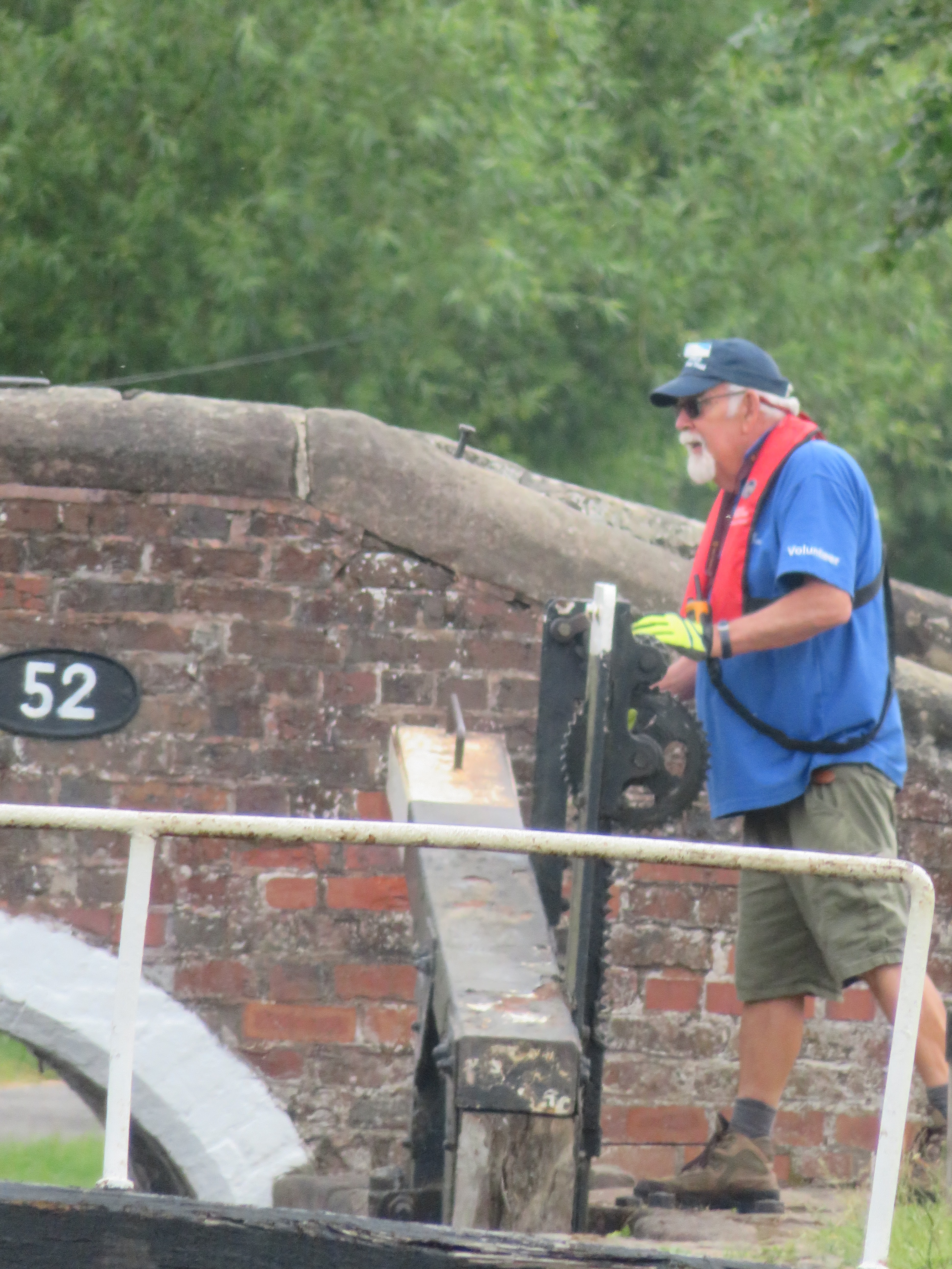
Our favourite Voluntary Lock Keeper was on duty so maybe that was the cause of the slight delay?!! We had been thinking of heading towards Coventry Basin as it is Coventry's first year as UK City of Culture, and longterm readers of this blog may remember that Helen and I were well involved as volunteers when our home city of Hull was City of Culture in 2017. The boat ahead of us was a trading boat and that is where they were heading for. I checked on line and from 21st it is given over to a floating market, but until then we should be okay. Destination for this trip sorted.

It didn't seem really busy at the Junction with boats or bodies and we easily turned into the Coventry canal and through the bridge. we had a short delay waiting for a top up of the water tank, and then moored up and met our friendly lock keeper at the cafe. It was great to catch up with the chat after so long, and we were presented with jams, chutney, cake and jigsaw, so it was only right that we bought the coffee. I can confirm for all those passing boaters that his brother was not the navigator of the Evergiven that got jammed in the Suez Canal!

Last time we went into the 'Mucky Duck' it was living up to its name a bit, and pretty shabby. It looks like it has had a bit of a refurb. so we may well poke our heads in on the way back.

This must be just about the easiest bridge to open on the system. I'm so glad that they never got round to fitting it with a lock. I wonder how many times it gets swung in a season?

After seeing our friend, he returned to duty and we did what we hardly ever do, and had lunch tied up. By the time we left the sun was out and it was a lovely day. It wasn't too busy with few boats passing. The off side has been cut back somewhat from the last time we passed.

Near Brookhay Pumping station, bridge 88 this house has had a 'bit of work' done to it since it was sold a while ago. This is the one with the train tracks on the other side and the diminishing back garden.

Streethay Wharf was as busy as ever with diesel at 84p if I remember correctly

To starboard in the photo before this one you can see the bows of this pair 'Starling' the motor and 'Ethel' the butty. Starling was built at Yarwoods in 1936 for Cowburn and Cowpar and Ethel was built at the same yard in 1930 as a horse boat for the LMS Railway Co. They have both been used for coal deliveries over the last ten years. Starling originally had a Icy Gardner 12HP motor but now has a Lister HA2. Ethel has never had an engine. They are both looking very nice in their Cowburn and Cowpar livery.

I alsways take a photo of the old toll house at the junction of the Coventry and the now named Lichfield and Hatherton Canal as I like the windows. I am hoping it wont be too many years before we are cruising up to Ogley Junction from Huddlesford Junction.

We didn't gomuch further and found a mooring by Whittington. Once moored up we went for a walk into the village for milk and to post a letter. We went up from the canal at Bridge 78 and were met by this great display. There were bird tables and seating, not for the birds. Somebody has really extended their garden in to the public realm, for everybody's benefit.

The post office and Co-op were just past the Bell pictured above so after doing the needful we decided to visit the beer garden for a pint of Landlord and half of cider. Beer not at its best but nice to be lifting a glass at least!

It got awfully dark 'over our Nellie's' and we thought that we may get wet on the way home, but it hasn't rained yet. I have just had a phone call from our favourite Voluntary Lock Keeper to tell me that the trainee that was with the guys on duty today was in the Scouts with me, the son of the Scout Master.


Wednesday, 16 June 2021

Out and About again.

 Well we have finally managed to clear the diary and cut the cord with home to head down south to 'Holderness'. The journey down was fine with reduced levels of traffic for some reason  We arrived about 1330 and by the time we had stowed stuff and filled with water etc It was nearly 1600! Then there was the decision to either stay in the marina until morning, or just go. We just went and were soon off the berth and looking back to our 'hole' before heading off to the entrance to the marina.

Our berth is just the other side of the red one furthest away. Things may have been a bit uncomfortable for some whilst we have been at home as the only elsan on the marina got blocked and took several days to clear it. The nearest other one is at Fradley Junction!

Ee turned right and head down the Trent and Mersey towards Fradley. It was a beautiful afternoon and the dappled shade  alongside Ravenshaw Wood was just perfect.

The buildings and chimney are still there from the old Diary that was at Kings Bromley Wharf until the 1930's.

I was quite surprised at how many boats were moving at this time. Only a couple of hire boats having to get from A to B the rest pottering along. Maybe they had sat out the heat of the middle of the day.  It was lovely passing the Slaish Woods.

There were banks of rhododendrons with their lovely mauve colour along the canal. Part of the HS2 Plan is to do some work on this wood to enhance the surviving woodland. I think that rhododendron is an invasive species so I wonder if these will be for the chop?

Just before Woodsend Lock there is a good view of the remedial work. This area was designated to receive the soil from the woodland decimated by the driving through of the actual track. As you can see there are some very bare trunks of trees which I assume have been transplanted here, along with much smaller ones. Along with those there are many many whips of trees that have been heeled in, and I must say looked alive from this distance. I'm not sure whether the ancient woodland soil has been spread already and has quickly grown over with grass etc, or now the trees are in the soil will be around them!
( For more information see my blog of 4th June 2021).

A boat had just penned up Woodend Lock so we had to just wait a little while. That cave me just enough time to retrieve the centre ropes from the bow locker as in our haste I had forgotten to do it before leaving the marina.

We didn't go very far below the moorings after Woodend before we found a spot and banged in some pins.. Before I had completed that Helen was out with the chairs, and her book. I even had a beer. It is good to be back on the move with 'Holderness'.

Oh and well done Wales for winning. I wonder what will happen on Friday??


Friday, 4 June 2021

Ravenshaw Woods and HS2.

 It seems that the construction of the HS2 rail project is getting underway properly this year, with large areas near the crossings of the canal being cleared and preparations for the construction stage being made. It is a major undertaking and will affect several canals and make a large impact, at least in the construction stage.

There is a a stretch of woodland close by Kings Bromley Marina that is to have part of the route through it, so I decided to look more closely into what is happening in this specific section of the route.

Ravenshaw Wood, The Slaish and Black Slough Woods are called Ancient woodlands. The definition of these are, that in England and Wales, they are woods that have existed before or since 1600. (In Scotland 1750). 1600 is not entirely arbitrary as it is thought that before this time woodlands were not planted so they are likely to be natural. Ancient woodlands also has two types.sub types, Ancient semi natural, which is composed of native trees that have not obviously been planted and may have some characteristics of ancient woodland.

Looking through old newspapers I have found that in 1808 there was an auction of oak saplings from 12 acres of Ravenshaw Wood and again in 1906 there was another auction of 430 mature oak trees already felled. It is obvious that the wood was managed. There are many reports in the mid 1800's of Ravenshaw, Black Slough and Slaish Woods being used for fox hunting with much sport being had. Ravenshaw Wood was well known as a challenging and fast ride. The main hunt was the Meynel Hounds These were funded by Hugo Francis Meynel-Ingram. He became the MP for West Staffordshire in 1868 and inherited Temple Newsam from his father the following year.

A painting of Hugo Meynel-Ingram by Francis Grant that hangs in Temple Newsam, Leeds. It shows him as a hunting man.

In 1927 Ravenshaw, Slaish and Black Slough Woods were up for sale. The 117 acres were bought by Sir Villiers Forster, Bart. of Lysway Hall, Longdon, nr. Rugeley, who was the joint Master of the South Staffordshire Hunt, with Major Anson. He paid £1755 for it. In today's prices that would be about £113,000. He also paid £290 for 17 acres of Hanch Wood nearby. This secured the woods for continuing hunting with hounds.

This OS Map of 1881 shows the location of the woods to the south of the Trent and Mersey Canal almost down to the bend at Woodend Lock. I have been unable to find out anything about the mound shown on the map called King's Standing. It could be either an iron age barrow (although I'm not sure there are any examples around her) or possibly a Norman motte and bailey fortification. Any information would be gratefully received.

In 1993 there were plans for 120 houses to be built in the forest as part of a larger settlement of 800 houses. The local council's through it out, but it had to be revisited as proper procedures hadn't been followed. It was thrown out a second time.

This is the latest plan of the building of the HS2 line through the area. In the top right hand corner of the plan is what I take to be the main route from Birmingham to the north. The section that runs through Ravenshaw Wood is a spur that will connect to the West Coast Mainline near Handsacre. This has been designed to spread the economic benefits and there will be an integrated station at Stafford. It is quite hard to see the map features below the plan but the northern boundary of the woods (coloured sections) is the canal.

The route of the branch through the wood is clearly defined and does not seem to large an area. However the red lines enclose the area that potentially be required for the construction phase. This is a much wider area acreage. I would assume that if they do use this area it would have to be restored to some state to similar to how it was found. I would expect that HS2 would want to limit this as much as possible in their own interests. The red area marks the site of the woodland that will be lost, 1.7 hectares (4.2 acres). The affected woodlands are described as mixed lowland deciduous woodland and an habitat of principal importance., part of it included on the Ancient Woodland Inventory, some as semi natural and some as plantation on Ancient woodland. The remainder is secondary woodland and heath or scrub. The main trees are pendunculate oak, downy birch and some rhododendron. You can tell the difference between a pendunculate oak and a sessile oak as the former's leave have almost no stalk, but the acorns do. It is the opposite in the sessile oak! The under laying vegetation is formed largely of bracken, buckler fern and bramble and there are areas to the NW that are waterlogged too. The woods are considered to be of County and Metropolitan level of importance.

Of the 1.7 hectares of the wood that is to be irretrievably lost 0.7 hectares are ancient replanted woods and 1 hectare semi natural wood land. Obvious cutting right through the wood will have consequences as one section will be cut of from the other and there will be more 'edge' development that will alter the characteristics of the remaining woods. The lighter green areas on the map are the Ancient woodlands and the dark green the non Ancient part of the woods.

HS2 are trying to mitigate the full loss of the red section by taking up the soil from that area and transporting it to nearby sites. Although most trees will be lost some, such as coppiced stools etc, could be transplanted too. I assume the hope is that the seed bank, fertility etc of that soil will mean that over time the habitat can be recreated in the new location. It has to be said that there seems to be much skepticism that this will work, I don't think that any long term research has been carried out on this subject. I suppose it is better than nothing though. The areas where the soil is to be moved to at Ravenshaw is marked on the plan above as the plain brown areas.

This is the diagram used to explain the process on the HS2 site. As it shows, there will be ongoing oversight of these new woodlands for up to twenty years. I expect that locals, environmentalists and research groups will be all over these places to ensure that what is planned is carried out.

The is also a commitment to plant more trees than are lost. In the case here 1.7 hectares are to be lost and they are planting 2.7 hectares. These are indicated on the plan by the hatched areas of the brown acreage. The replanting is explained above. There is an ongoing commitment to these new plantings too as can be seen in the diagram below.


On much of the route there is to be many trees planted for landscaping screening purposes. Here at Ravenshaw they were to be planted to the north of the alignment. However at the request of the landowner these are being omitted so the land can remain in agriculture.

On the plane the hatched areas of light and dark green, which is all of it, are to be enhanced by HS" as well. In this case that is 3.7 hectares of Ancient woods and 13 hectares of non Ancient woods. Enhancement takes the form of removing all invasive species, creating glades and putting up bat and bird boxes etc. It would seem a great time to set up as an arborologist, or whatever they are called, that look after these woodlands!

This is just one site and I understand there 107 Ancient Woodland sites that will be affected. There will be a vast scar on the landscape as the lines are being built, but they will fade over time. I lived in Birmingham when they were building Spaghetti Junction and it looked like the Somme for a long time. Maybe not a good analogy with it all being industrial/urban, but you get my drift. In their time the routes of canals, railways and motorways have been hotly contested by people living on the route, and others. I know some people think that HS2 is not needed and won't add anything to the public transport offering. I have some sympathy with this as being a Northerner the East - West links across the Pennine's are not electrified and really need updating. Funds for this seem to have released recently though.

My thoughts, for what they are worth, are that the arguments have been made and the Parliamentary Bill has been passed. It is going ahead. The work has started. It seems that from the original route given in 2013 much has been achieved in preventing loss and damage with the new routes etc. I can't seem to find any figures as to what percentage of the overall cost of the project in taken up with mitigating environmental damage, but it must add an awful lot to the total. Much like Brexit we have to get on with it now, but ensure that we hold Government to account to ensure that they carryout promises made. And ensure they ensure that the price does not sky rocket. (Or, God forbid, cancel the project in the future).

Hopefully, what ever side you are on this may help with your understanding of it on just one small woodland along the route.