We have finally reached a penciled in slot on our calendar that says 'boat' so we have a short break afloat at last. We set off just before 11am and arrived just before 1pm. The journey was very good and dry until we got to Alrewas just after leaving the A38. By the time we arrived at the marina it was 'chucking it down'. By the time we had got our selves and Macy the cat in the boat there was tremendous thunder and lightning. In between the heavy rain, during dry spells with the flash and bang of the clouds banging together we emptied the car into the boat and had lunch.

We don't often get to see our boat like this as our neighbour doesn't often go out on the cut at the same time as us. It is also a fine example of the new gravel that Aquavista have spread everywhere over the old gravel!

After our lunch we girded our loins to leave when there was yet another heavy burst of rain with attendant timpani so we sat tight. We eventual cast off at 3:30pm and turned left at the entrance to the marina. The first boat you come to has been there for as long as we have moored at this marina! It was overcast, but warm, and with the leaves bright green on the trees and the flash of the yellow rape fields we felt glad to be back on the water.

Slowly the drab grey sky lifted and in the distance there seemed the promise of better things to come, and we decided to keep going until Rugeley.

I have finally got round to looking up what these plates on railway bridges actually mean. The top line denotes the line, in this case it means London Euston to Crewe, and the 2 means that it is the Rugby Trent Valley to Stafford South section. The next and largest number is the Identifier of the bridge. the numbers at the bottom indicate the distance from the given origin, in this case London Euston. It is given usually in miles and chains, but this case it is miles and yards. (For those to young a chain is 22 yards and is also the distance between the stumps on a cricket pitch! And there are 80 chains in a mile) The identifiers for the structures do not follow consecutively as the route is traveled. I assume this is because it would mean that the whole line would have to be renumbered every time a new bridge level crossing etc was added. Each railway company had their own system it seems but this system was adopted when everything was computerised. They retained the imperial measures as it would be a nightmare changing everything. So now you know. If you want to know much, much more and to identify every structure go to www,railwaydata,co.uk

As we approached the Plum Pudding pub near to the Armitage 'tunnel' we passed a long line of pans and tugs and it looked like the 'Stalwart' was acting as an hotel boat.

Just past the pub and closer to the 'tunnel' was the point where the footpath toppings for the towpath stretch from Kings Bromley to Fradley is being loaded into the pans and take down there. You can see the pile of chippings behind the fence.
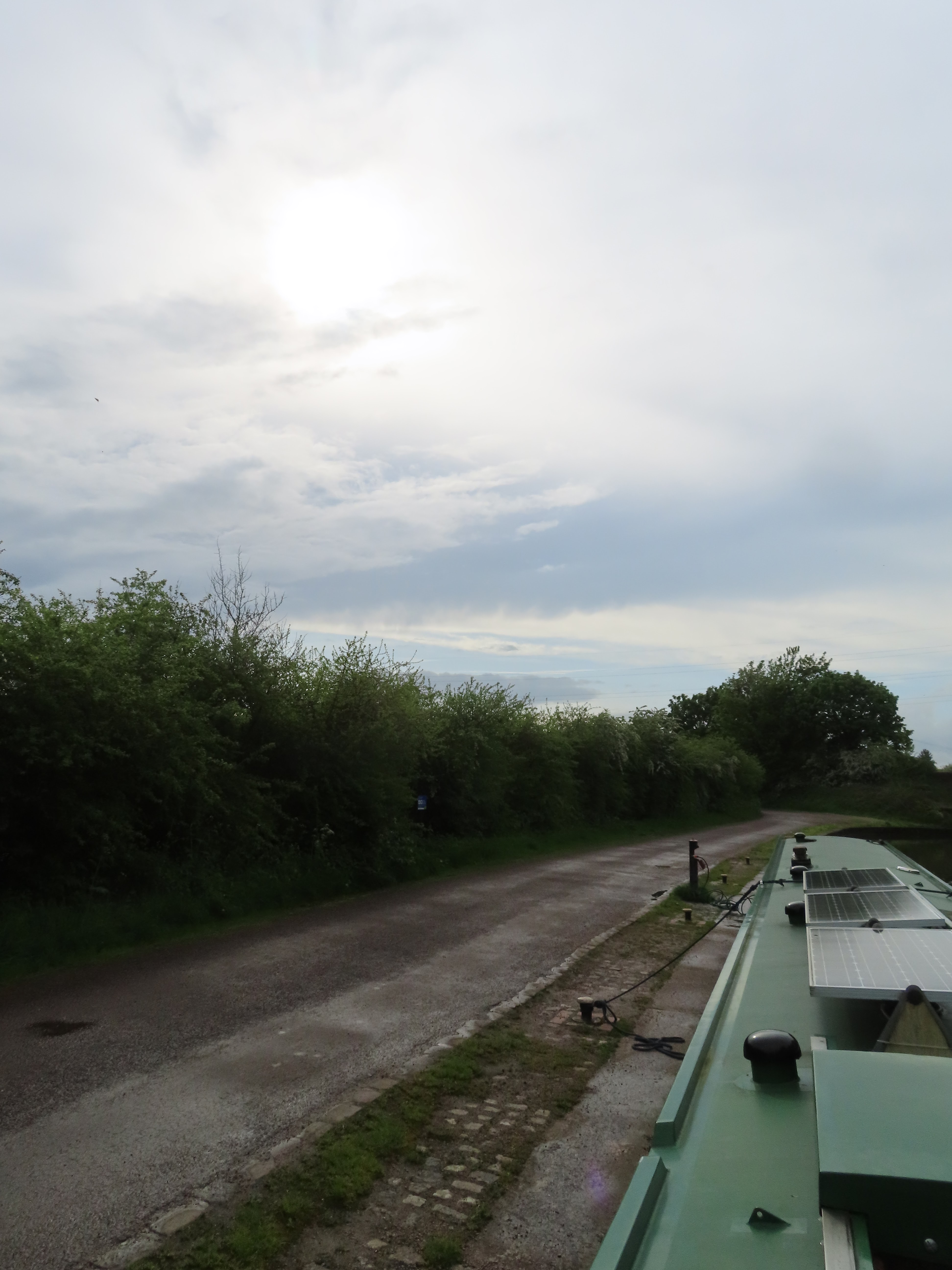
We couldn't remember if we had topped up with water on arrival back at the marina from our last foray but as the water point was vacant at the end of the Spode House moorings we stopped and filled up. It turns out we hadn't filled her up so it was a good job that we did.

The boats at Rugeley had all moored with plenty of space between them, but before the supermarket bridge we slotted in a space and moored up. As it wasn't raining we decided to pop to the shops before settling down. It could well be raining in the morning!
It is so nice to be back aboard and muscle memory always seems to click in and back in to the routine.
No comments:
Post a Comment