Total Pageviews

Wednesday, 5 May 2021

Down an Arm and up a Reservoir.

We left around 10:00 and it was blustery but the rain was intermittent and light really, other than feeling like hail in the wind.

As we coiled round the hill side we could see on the opposite side of the valley the 135ft water tower of the St. Edward's Hospital. Original it was called No. 3 Staffordshire County Asylum and Cheddleton Mental Hospital. It was opened in 1899 after the design was picked from a competition. It was designed for 300 male and 300 female. The water tower was fed by a pump from a well around 100ft underground. It was a a community and more or less self contained. It was extended to take another 200 of each sex. It even had its own electric railway for 50 years from the line at the valley floor. There was also talk of its own internal currency of brass tokens. It was closed in 2002 and there is now a housing etsate on the land. Much of the original hospital was Listed and has been converted.

To give a bit of a flavour of the woods there are outcrops of rocks...

..... and swathes of bluebells.

The wind helped us round the tight corner from the Leek Arm into the top Hazelhurst lock, and the rain held off too.

But the wind was still pretty cool if you had it in your face. Helen was taking all precautions. A six layer day today.

Passing under where we had recently been is always interesting. There seem to be a bit of damage at the lower right of the structure. I hope it isn't too serious. The central plaque on the bridge says 'Hazlehurst Aqueduct, 1841'. sic. I have never noticed the difference in spelling to that used generally on the OS maps. I wonder if it was just an accident?

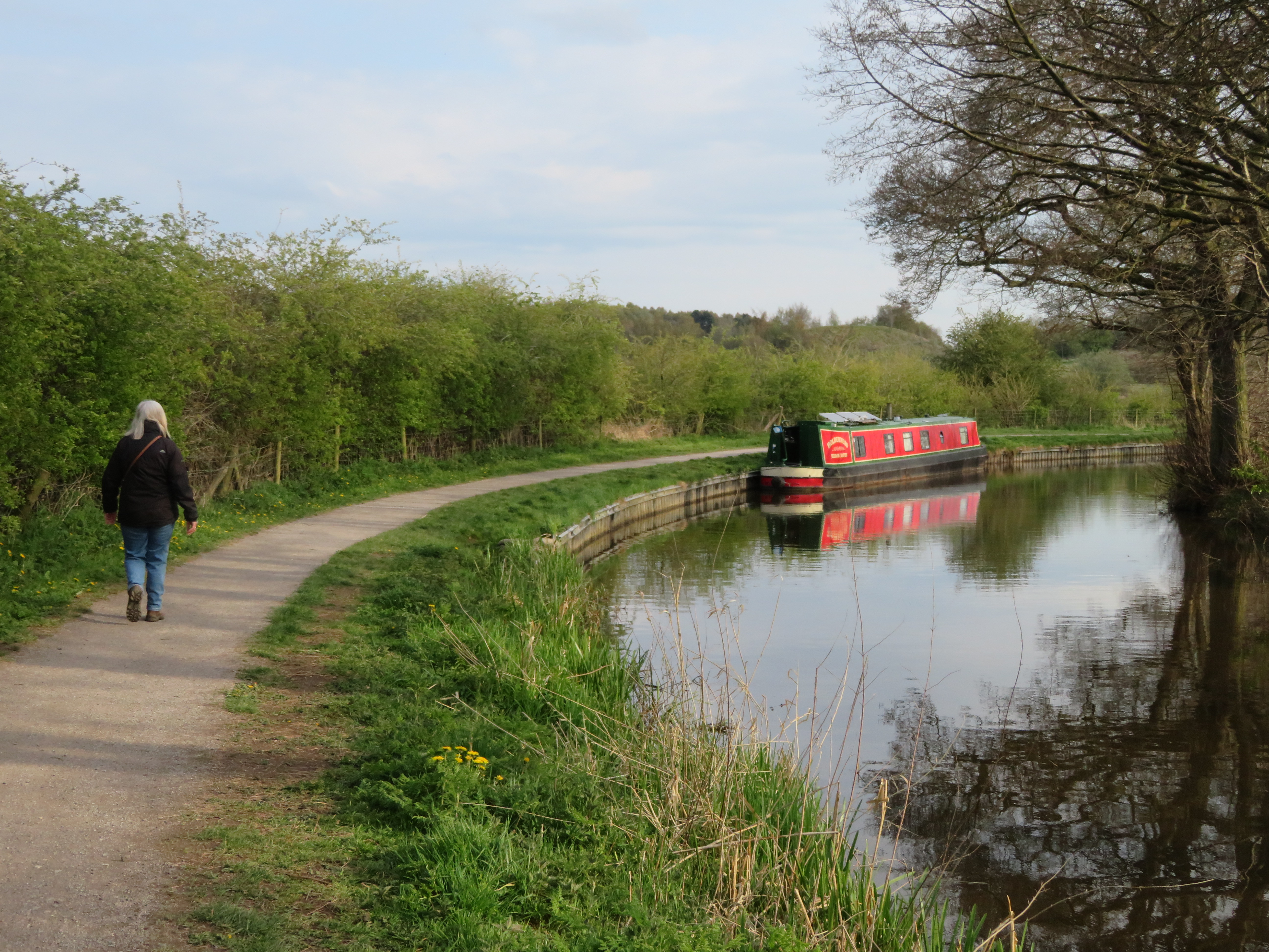
There was no room near the Holy Bush pub, Denford, to moor so we carried on a little further and found a place just round the corner a little. We had a bite to eat and then decided to go for a walk as the weather wasn't too bad.

We walked down the tow path to bridge 39 and walked up to the Deep Hayes Country Park that is run by Staffordshire County Council. By the canal there were some lime kilns, and up where the visitor centre is today was the Wall Grange Brick and Tile works that opened around 1890 and survived until the 1950's The centre was all locked, as were the toilets. We had the place to ourselves. There was a map with several routes marked on it. The tracks were well made and not steep.

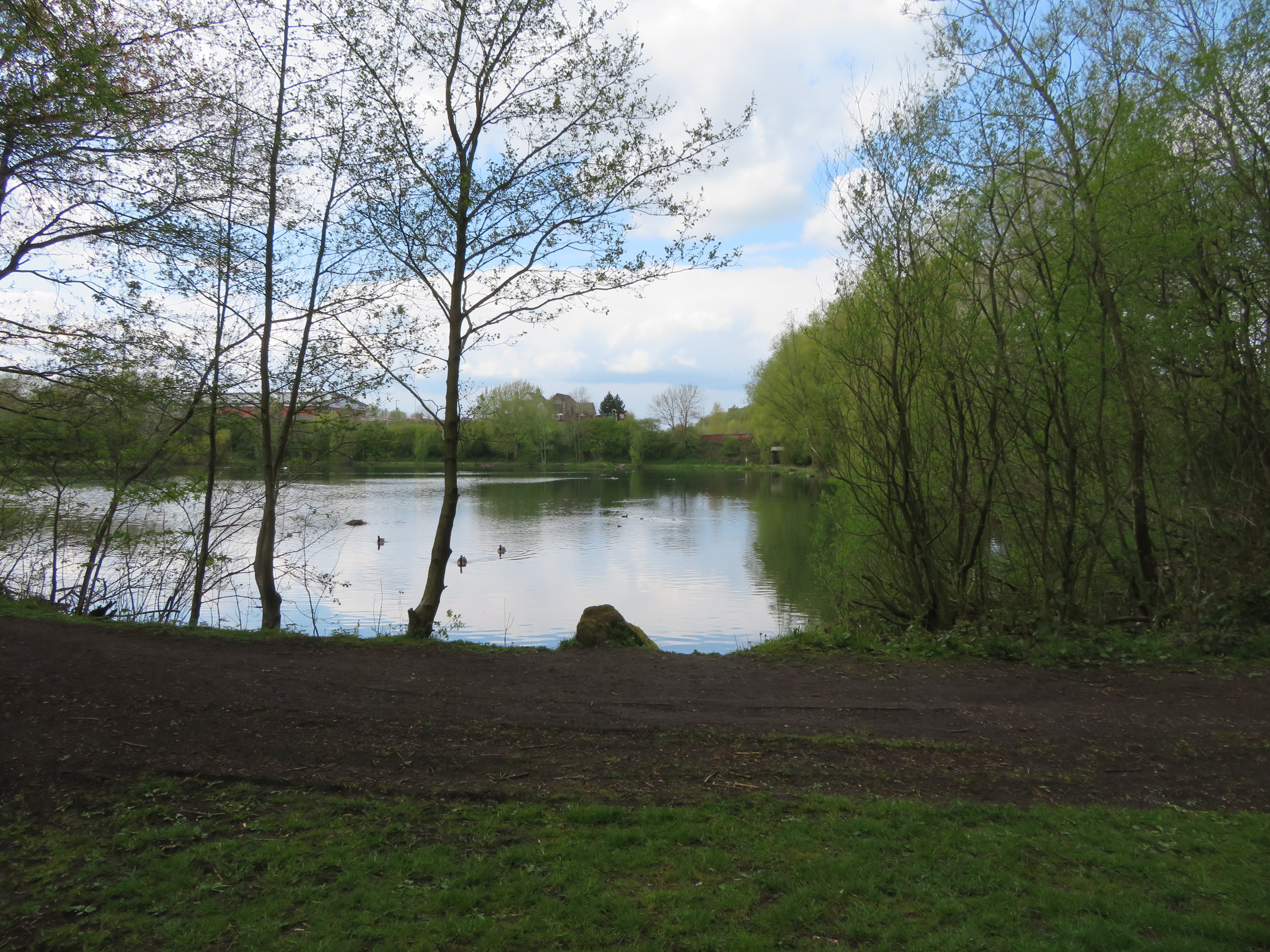
The valley was once a reservoir that was built for the Staffordshire Potteries Waterworks Co. in 1848. Its job was to supply water to the river that had been removed to supply drinking water to the people of the Potteries. There were still many mills using the river and they had to be supplied with water to keep them working. A big earth dam was built just up from the canal, next to where the brick works would be. In 1979 the earth dam was showing signs of damage that would be too expensive to repair. Severn Trent Water decided to do away with it and obtain the water via a bore hole. It was agreed to create a country park and three pools were made with the dropped level. This is between two of the pools, and similar between at the other meeting.

The route climbs gently up the valley with steps and hand rails when required.

The path continues alongside the stream and the valley opens up a little.

The path crosses the stream now and then and occasionally you get a glimpse of red water leeching out of the valley sides in rivulets. These are chalybeate springs that are coloured as they contain iron salts. Just like at the Harecastle Tunnel.

Eventually you come to the head of the Country Park and still the route is marked and continues up the valley until the route joins up with a track at a disused car park. We then follow public footpaths back on another route.

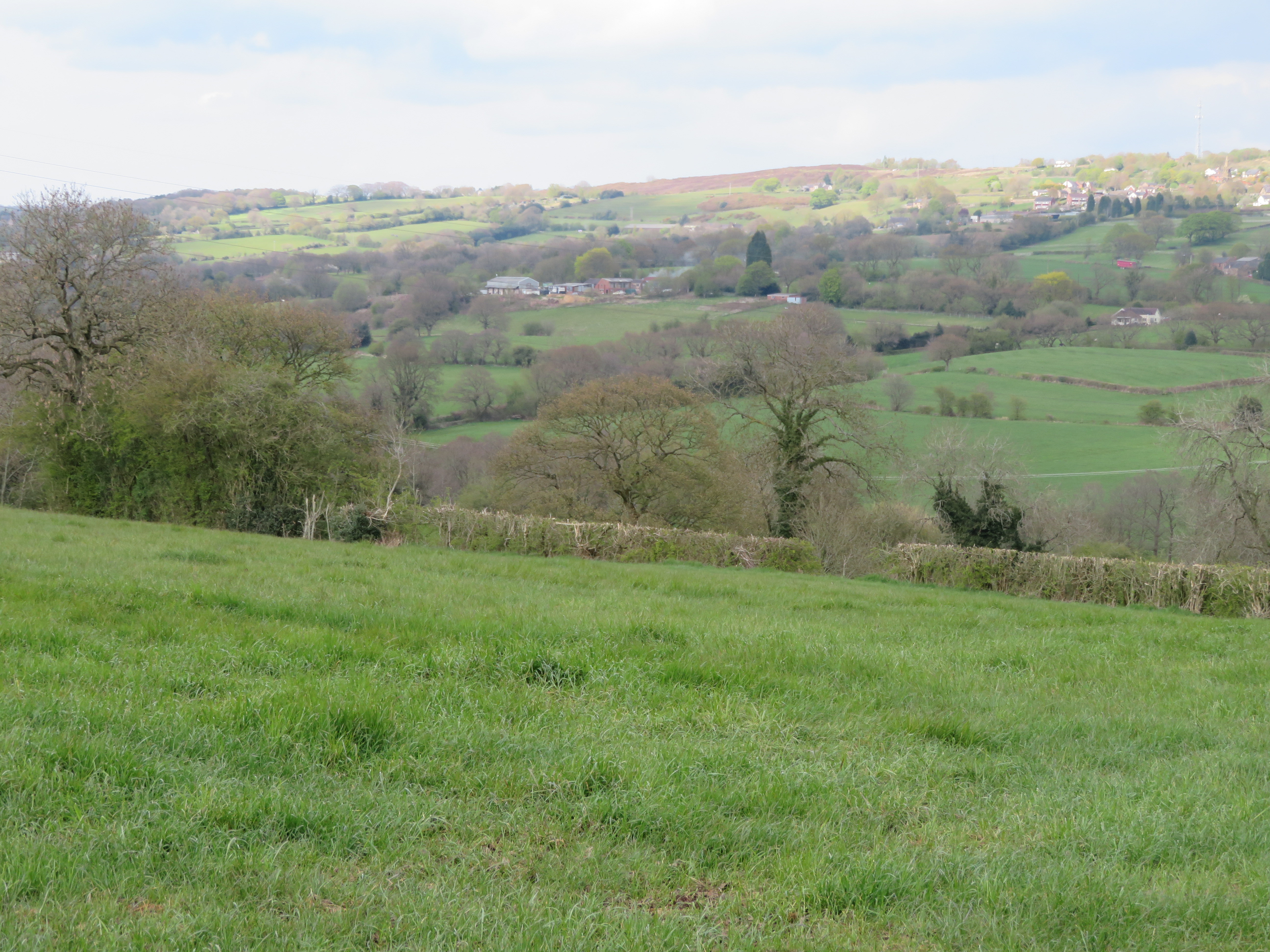
We have probably climbed 500 feet, but you wouldn't really know it as it was steadily achieved. You have a good view across towards Longdon and the hills beyond Leek. With the showers racing through on the wind it all looks a little brooding.

The footpath takes you through Denford Farm as you drop down the valley to once again meet up with the canal.

The footpath drops through the woods on the off side of the canal and gave us a good view of 'Holderness', with the Leek Arm level visible on the other hillside. The wood was full of wood anemone and bluebells etc and brings you out where the limekilns once were, just by the bridge over the canal, and a short walk back along the canal brings us back to the boat for a cup of tea.


Tuesday, 4 May 2021

Leek Miscellany.

Yesterday we went for a walk into Leek before the rain started and as reported everywhere was closed as it was around.

We were intrigued with this tower that was left from an obviously demolished site. It turns out that it was the old Compton Silk Mill that was built in the late 19th century and was the home of the high class Moorcroft knitwear. The mill behind has all gone but this tower has been retained as the centre piece of a new development of 57 luxury retirement apartments.

Leek Oatcake Shop has been going since 1964 and they are traditionally baked on a massive gridle. I will certainly be back to test them. The bacon and egg oat cake sounds just the jog on a day like today.

Looking down Derby Street to the Nicholson War Memorial, the largest in the country next to Trinity Church. I was disappointed that the Cock Inn wasn't open for a pint of Joules Pale, but never mind, it will taste even better when I finally get one.

The Market Cross in the Market Square is a scheduled Ancient Monument and is post medieval. It was moved from the market place in the 19th Century to the Leek cemetery but was returned in 1984 to be the centre piece. Behind you can see an entrance to the indoor Butter Market that is a revamped Victorian indoor market. The Red Lion next door dates back to the 1700's.

We walked back past Morrison's and B&M and this was the site of the railway station and sidings. Next door was the terminal basin of the Leek Arm. You can see that there were two cranes and a weighing machine in this 1877 OS map extract.

In this photo of the basin from 1900/02 you can see the warehouse with the overhanging gantry and one of the cranes. The white house is still there, much altered I think as there is a building called Wharf House on Barnfields Road. The building on the embankment behind must be the goods shed for the railway. It is also nice to see a narrow boat in the basin.

As it has been raining all day I have had a look at the old map and can see that just down the canal from the moorings, at Bridge 9, where the last winding hole is and on the east side of the canal is shown a rifle range on 1898 OS map. Hopefully you will be able to make out the descending ranges from below the bridge road at 600 yards to the targets right down in the bottom left corner. There was a flag staff to show that firing is taking place. In fact you can see the 800 yards marker at the top right corner. It was said that there was a clear 1000 yards from the other side of the river. In 1859 there was a threat of invasion from the French and there was a rising of feeling to help out the country by rising volunteer forces. Staffordshire was the first county to raise volunteer rifle brigades and in Leek the 28th Rifle Volunteers were raised in April 1860. The range was on Wall Grange Farm land that belonged to the Duke of Sutherland. The range was used until at least 1878.

I took a walk up to the bridge to see if there was anything left of the range to see. I couldn't get on the bridge to look down the range but I'm pretty sure that the wooden post half way up the left had side of the photo is the base of the flag staff. Then between the brick hut and the flag pole is a mound that could well be the bank that they shot from as seen on the old map. The brick built building does not appear on the maps up to 1940, so maybe it is a bunker/pill box that commands the view of the Churnet Valley.


A little further on is Coena's Well (also spelled Cere's and St. Caena's). Following a Royal Commission in 1844, about cities water supplies, The Potteries Waterboard Commission was set up the following year after a meeting in Hanley Town Hall. They tried to engage a noted waterworks engineer, but he was too busy so they took on Liddle Elliot a local man. We surveyed the area and decided that the well would make a great supply of water for the Potteries. The water was tasted (but not analysed) and declared fit for use and better than that supplied at Hanley and Burslem. There is a later pumping station don between the two canal at the junction.

The photo shows a long trough type affair that can be seen on the map above aligned more or less NE/SW. There circular feature can easily be seen from the canal as we passed. It certainly does not have water in it these days, if it ever did.

The Leek Arm is only three miles long but there is plenty to find out about it. I'l look out for the well on the way back down the canal.


Monday, 3 May 2021

Short but Sweet.

 The cliffhanger I left you with on the last blog was which way we will go. Well the reason we made the decision was due to another cliffhanger. Our original plan was to head for Froghall, down the Hazelhurst Locks, but we realised that we would then be down in a valley and it would be difficult perhaps to obtain a TV picture and of course last night was the end of the current series of 'Line of Duty', and we didn't want to miss it. I am not a box set watcher as a rule, and the trend now is to show the first of a series and release it on Iplayer, or equivalent, but 'Line of Duty' have only shown them week by week, and I certainly think it adds to the drama, as maybe the viewing figures show.

We turned to the right and passed the cross over bridge, iron lattice bridge, white cottage and sign post all making a nice little set. However this is what was here originally when the canal opened in 1778. The original line of the canal left the route just at the end of the Park Lane services and descended to Denford by three spaced locks. The route was roughly where the railway line is today. It was in 1797 that a further Act of Parliament was passed to allow the building of a canal to Leek and the making of Rudyard Reservoir. The canal would then also act as a feeder. This was completed in 1801 with an embankment over the valley with a small aqueduct over each of the stream and the canal and a triple staircase down to the old level. In 1841 the staircase was replaced with three separate locks with side pounds, and then through the embankment and the current aqueduct was constructed.

In 1997 the embankment above the locks was leaking and a concrete culvert was laid for the canal to run in and solve the leaks. The turn onto the aqueduct is blind but with the bridge and cottage the scene is quite photogenic.

The original canal bridges were largely brick built, but the new section from park lane were constructed by John Rennie who preferred stone. The later are more appealing in the long term it seems.

The aqueduct is not the highest, grandest, longest etc, but its solidity seems to fit well in the landscape. We will see more on the way to Froghall.

Over the canal below, and now over the railway line that is not so grand. The Leek Arm is pretty narrow over much of its length and is not the waterway for speeding along.

The canal follows the edge of the valley side with steeply wooded banks on one side. At bridge No.6 the gentle turn is more open and the land drops away to the tow path side giving views.

The middle section of the Leek Arm has a certain grandeur about it and I have a fancy I am cruising through the Black Forest in Germany.

Hollinhay Wood on the offside has no access which is a shame at this time of the year as there bluebells everywhere. You have to make the most of them from the tow path or canal.

Tixall Wide it is not, but the pool before the tunnel is more fairy like due to its small size. One day I will moor here.

Leek Tunnel seems too small until you get close. It is very obviously one way only, but it is nice and high along its 130 yards length. The Rennie constructed tunnel required major refurbishment in 1984 and it was deemed easier to remove the earth from the top than any other way. Inside you can see various types of wall that have been used.

The Leek Arm was abandoned in 1944 and in 1957 the Leek Urban District Council bought the section from the Churnet Valley aqueduct, seen above, to the terminal basin and filled it in!! It did cross the Churnet and made a straight line to a terminal basin. Where the B&M and Morrison's are today was where the station and sidings were. The house at the junction of Barnfields Road and the main road is called the Wharf House showing that the basin was that side of the road.

We went for a walk into Leek, but as it was after 16:00 it was pretty quiet. The weather was still good when we arrived back at the boat. It looks like we have it to ourselves, but a little further round the corner at two more boats.

The Leek Arm ends with a bit of a reverse, is narrow and shallow and only about 3 miles long. It is still a good walk into the town and the supermarket is still a good walk from the moorings, but it is one of those lengths of canal that shouldn't be missed. Another like the very top of the Chesterfield, with all the locks, to the current head of navigation.


Sunday, 2 May 2021

Cliffhanger.

Today being Sunday meant a walk into Milton to find the paper and a pint or two of milk. I decided on the Co-op rather than the One Stop Shop. I was delayed a little after a chat with a guy who is mooring close to us and says he spends a lot of his time on the Caldon, and was telling me that he was getting a bit of bother from C&RT! We stayed tied up until the Archer's were finished and set of in the sun. There were loads of folk on the tow path. As I was getting the lines three cyclists came past I wasn't looking really as I was on the grass, not the cycleway. I was shocked when I was nearly taken off my feet. The second cyclist had a dog on a lead that decided to go one side and the cyclist the other! It was a bit like a staffie so was a bit weighty. I did stay upright, and the dog seemed okay too.

We were soon at Engine Lock that I thought would take a fair bit of leveling as the bottom gates were leaking badly at the bottom seal, but it was fine. Helen soon warmed up too.

Helen Liked Norton Green Lift bridge as it was just a push button.

Just past the bridge is the feeder from Knypersley Reservoir. It was navigable as far as the Foaming Pint pub, but no longer.

You would get a lot of house for your money if you acquired this old Victorian water works pumping station. It would be a really nice challenge too. At the stone work at the bottom of the photo you can see that there was an entrance to a dock here.

As you can see it filled the grassed area right up to the building. The pump was powered by a coal fired steam boiler, and the coal was brought by canal.

The Stockton Brook five locks are very pleasant to work up, especially in the sun. It is a nice scene when you get to the top too. 

By the lock is what looks like a converted stable. There is also a wharf just after the main road bridge too.

Once clear of the locks the vistas open up and there are views of the hills to entice you onwards. Not quite a Rochdale or Huddersfield Canal views but welcome non the less.

The little roundabout is all that remain of a rail track spur off the 'main line' on the left of the picture to the Victoria Flint Mill behind the camera on the off side that was worked by a water wheel.

These beasts barely lifted their heads as we passed. We stopped at Park Lane Wharf and filled up with water and dropped the rubbish off and were soon on our way.

Hazelhurst Junction is as pretty as a picture. Straight on, under the bridge and down three locks is the way to Froghall. To the right and on the level takes you onto the Leek Arm.

What a cliff hanger to leave you with!!


Saturday, 1 May 2021

Foxley, Ford Green and four shafts.

 We had a quiet night at Etruria and were up a little earlier than has been normal on this cruise.

We were moored close to the first locks on the Caldon Canal so Helen walked up and started to set the locks whilst I readied the boat. To the right of the lock, Planet Lock,  and our moorings, Stafforshire's first hospital was built. It quickly need to expand and it was not considered the best place by then so it was moved elsewhere. The land was sold to the gas works company.

As can be seen in the first photo it is a staircase lock, the only one in Staffordshire apparently! Not only that but the top lock is much deeper than the bottom lock. This has been caused by subsidence over the years, so much so that there is an overflow in the bottom lock to take care of the excess. Mind you as the Caldon is a feeder for the Trent and Mersey (like the Llangollen is to the Shropshire) so water is always going over the overflow anyway, so don't feel too bad. You can see how much the lock has sunk by the addition of concrete above the original coping stones.

Above the lock the cut is pretty narrow with stone sides. They have managed to install steel ladders that stand proud of the wall that have to be watched for if trying to avoid other boats.

Hanley Park looks a lovely space, and there were loads of families out and about. It opened in 1897 on 63 acres of derelict land. It is actually not in Hanley, but Shelton, and is a fine example of a Victorian park and has been refurbished in 2015 with over £4 million of Lottery money.

We had help up Planet Lock from Rob the Lock who is available for help in all forms from Great Haywood, Caldon Canal and Heartbreak Hill. Laundry, help with steering, locking and blacking given.  Google him if you need a hand. There was no lock here originaly but the canal company gave up heightening the banks to cope with subsidence and just put a new lock in in 1909.
On out first foray up the Caldon there were vast swathes of derelict and bulldozed lands with little pockets that contained the off bottle kiln and other buildings. It is tantalizing to see them poking out above the walls that run along much of the tow path.

This looks industrial, but just through the bridge there are loads of new houses that have filled the old vacant land. I expect that every bottle kiln in the region has been Listed to prevent their loss. Some we have seen need work quickly I think.

s th
A lot of the bridges that are original have their numbers carved in them like this one. Interestingly their numbers are still the right ones today. The Caldon Canal opened in 1778.

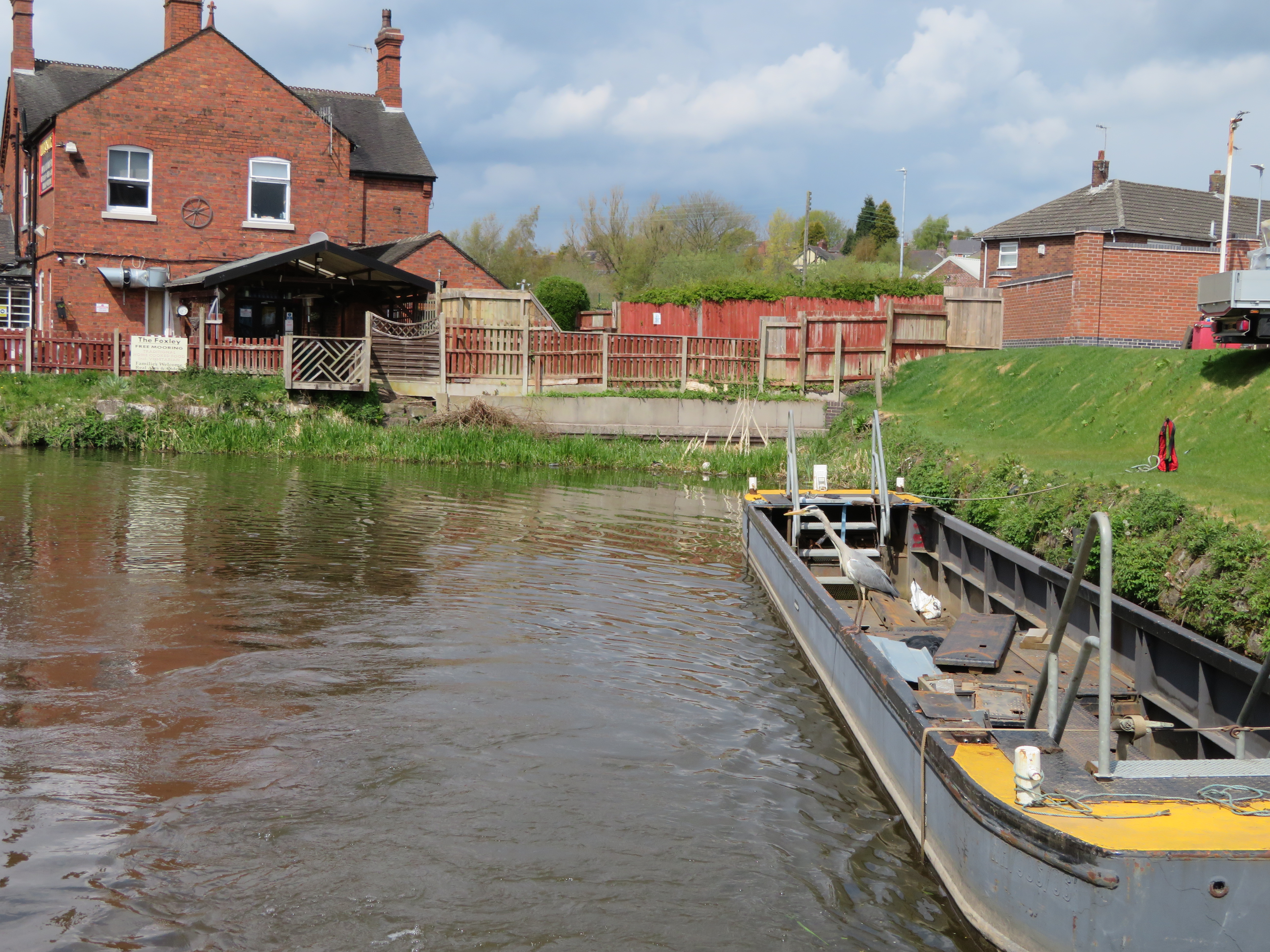
Hrelen enjoyed taking pictures of a heron that seemed to be wiser than the usual one as instead of seeing us coming and flying off ahead to just repeat the process, this one flew to just ahead of us and watched as our bow and stern wave disturbed the fish and then pounced. Once we were passed he flew to just ahead of us again. We have seen terns do this but herons normally don't seem to mastered the technique generally. Where the concrete wall is on the bend just before Milton was where the Foxley Branch Canal set off to Iron Works owned by Robert Heath, a distance of about three quarters of a mile.

We went out the other side of Milton as the canal was pretty narrow at the moorings so moored up before Engine Lock. After lunch we went on a walk back down the tow path to Milton and then off at Bridge 18 and then went through the village to get to the Whitfield Valley Greenway. On the way we found this under the old railway. I'm pretty sure this is part of the old Foxley Branch. The greenway was the bed of the old railway that is now paved and a cycle route.

Holden Lane Pool lies next to the route and has plenty of wildlife about, enough to draw several photographers with all their gear out.

This looks even more like a canal routs as we walk up the railway line by the side of it.

Just across the road from where the Foxley Branch ended at the iron works is this half timbered house that was built in 1624. It is run by a charitable trust and is normally open to the public. The rooms are furnished in the style of a 17th century yeoman farmers house.

Over the road the Whitfield Valley Reserve continues gently up the valley. It seems that it was the Biddulph Branch Line. I am no steam buff, but the track seems pretty steep to me for hauling traffic up and down. At the southern end of the Nature Reserve was mainly old pasture and pools etc, but up at the north end was a coal mine. This hill are the remains of the waste heap.

At the topof the nature reserve is the Chatterley Whitfield Colliery. It was the Whitfield mine in 1830, but changed to the Chatterley Whitfield Colliery in 1891. By 1862 it had four shafts. A fifth was devastated by an explosion in 1881. By 1937 it was a jewel in the crown as it employed over 4000 and was the first mine to produce over 1 million tons of saleable coal. It connected with Wolstanton Mine underground and soon after, in 1977, was closed. Two years later it became a museum with underground tours. By 1986 the underground trips finished and a 'fake' experience was provided until the museum closed in 1986! It should have been the end of the colliery altogether but it had been made a Scheduled Ancient Monument as it was the most complete coal mine left in the country! It is now run by a charity trust that really have their hands full stopping it falling down I should think. It is mind boggling to me to think of the activity and action going on above and below ground at its height, and now it is so quiet. You can see the head gear of at least four shafts above.

We walked through the village of Ball Green, a mining village and down into the Head of Trent Valley that carries the juvenile Trent and the canal feeder from Knypersley Reservoir.

We got back to the canal at Engine Lock and walked the tow path the short distance back to the boat. You can judge for your self whether Macy the Cat was pleased to see us back or not.

The walk was 5.7 miles on gently gradients and well made paths. It would be a short walk to get to Ford Green Hall to have a look, and if, like me you like an industrial landscape etc the walk up to the colliery was well worth it. The residents of the area are very lucky to have such a large area of open country that has made up cycle paths as well as been able to go 'off piste' too. There are lakes and streams, and trees that should keep kids busy for the school holidays. It would in my youth, but who knows these days.