Total Pageviews

Monday, 25 January 2021

Beware Flying cars.

 We set off in the sunshine the next day, although it was a bit cool first thing.

We were soon passing through Junction Lock with the help of a well wrapped up Volunteer Lockie and then turned left on to the Coventry Canal.

They must have done a bit of tree clearing as I don't remember such a good view of the hanger from Fradley air field before.

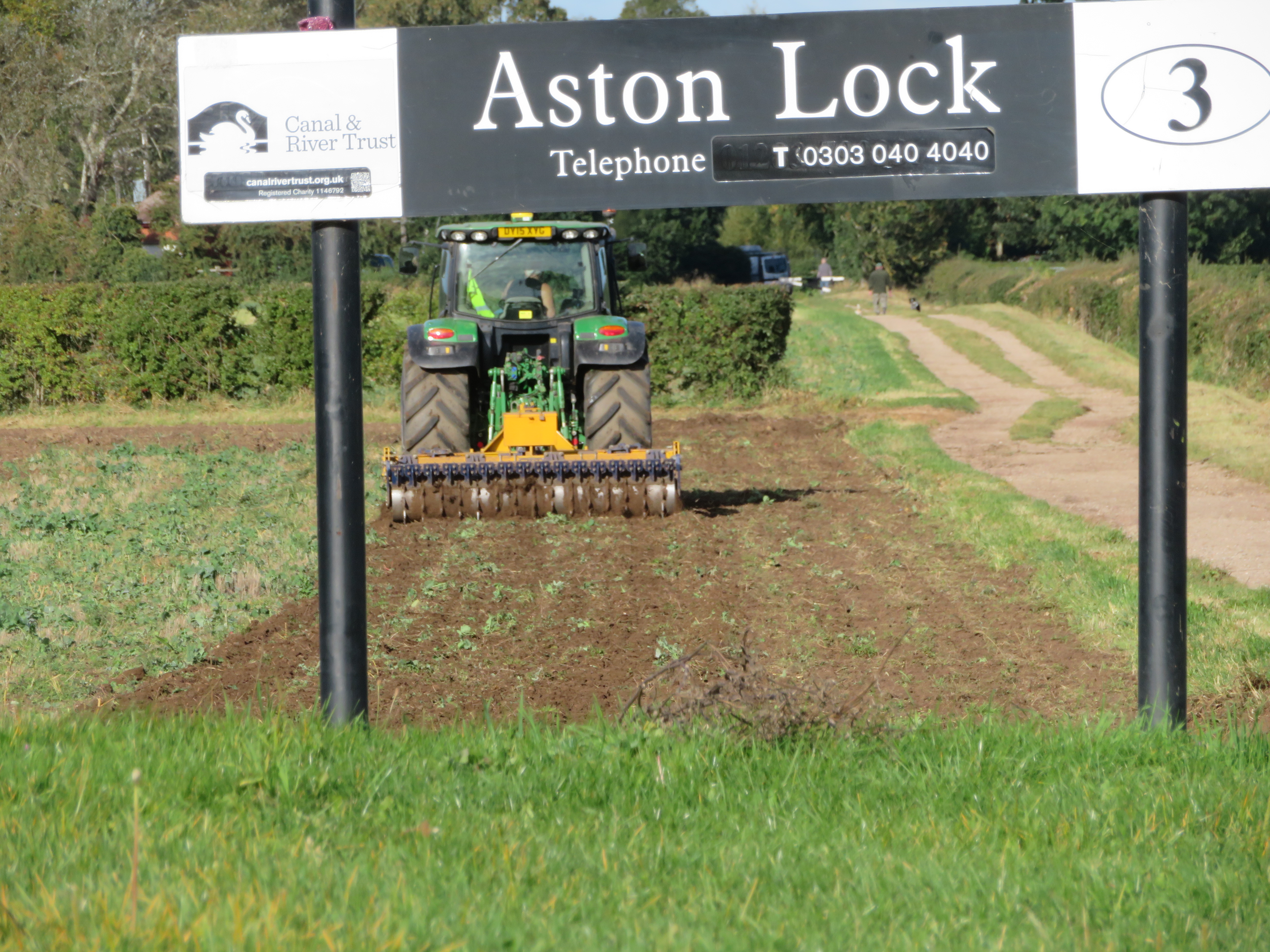
We were soon through Fradley Village and under the A38 Ryknild Street Roman Road and then the canal is lovely. We are particularly taken with the canal cottage by Brookhay Bridge, 88, just past the pumping station that you can see through the trees and next to the railway line and crossing. Looking on the old maps it looks like there was a little basin off the canal in front of the house. Whether this was a rural farm wharf, or for gravels etc or maybe even a transhipment place I don't know.

As we approached Huddlesford Junction these cows were enjoying a drink in the sun. Something the human population have been severely restricted in doing this year!

We were soon passing through Hopwas Woods not a boat stirred and hardly a walker to be seen either. It is magical with the sun filtering through the trees and some fantastic walks too.

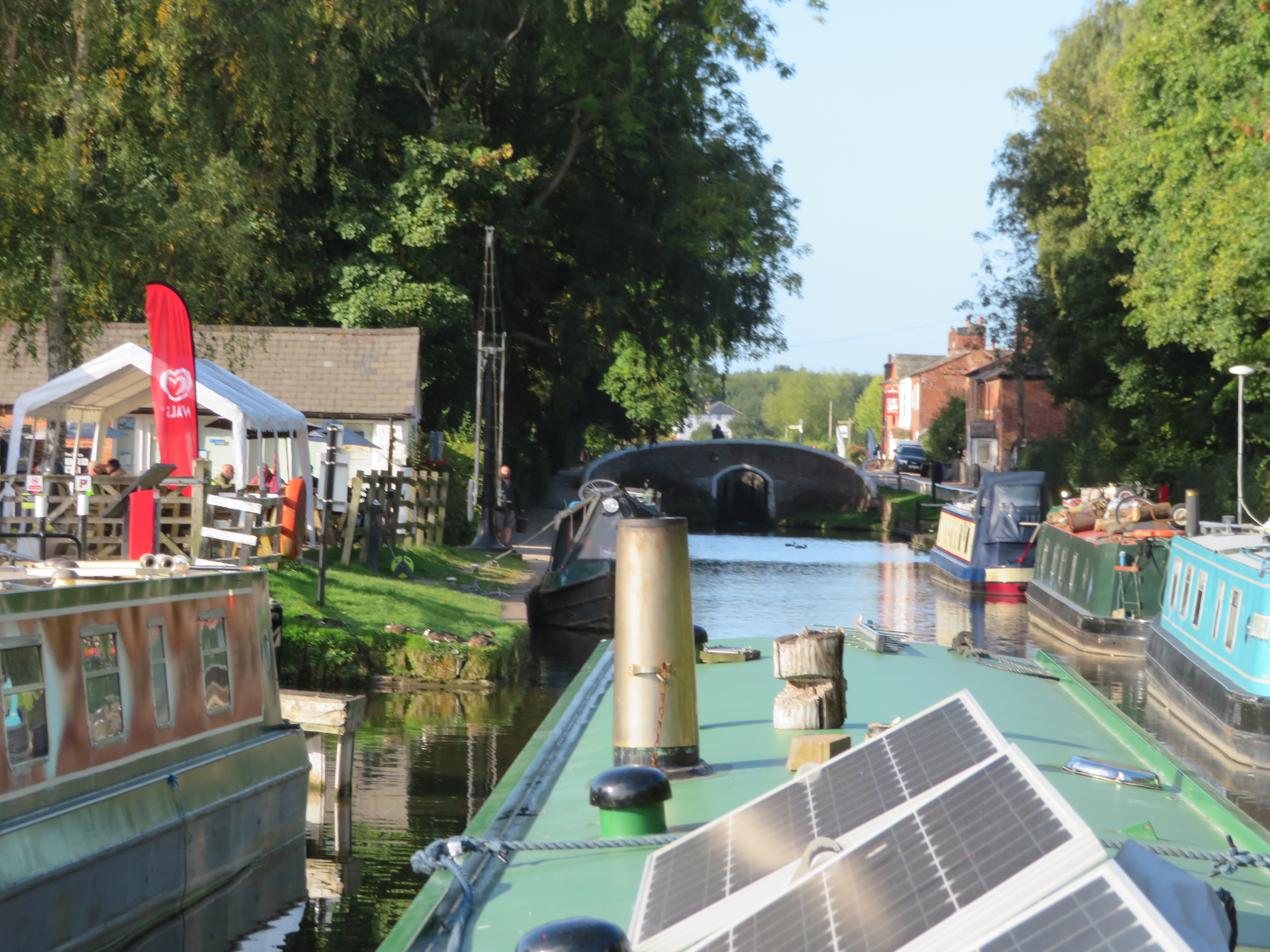
We were soon at Peel Wharf at Fazeley. I wasn't surprised to find that the basin here is not old but was dug out when the wharf was sold for building in the 70's or 80's I should think. There was a wharf here with a crane but along the bank.. There used to be boats moored in there but no more it seems. It is such a shame that these facilities are lost and folk can benefit from the lift in house prices by being next to the water but not put anything in to the water ways economy. I'm not sure how you could do it though.

I thought I would write a bit about Streethay wharf as we have docked the boat there before and have always though they are particularly friendly and helpful, and there is a bit of a story to tell too.
It appears that Streethay Wharf was originally set up for general trading and a maltings that was on site fairly soon after. It was run for the City Brewery of Lichfield, whose brewery backed on to the old canal that went through the city. It started in 1874 but was sold to the Wolverhampton and Dudley Brewery after a big fire caused damage that couldn't be repaired whilst at war as the Ministry of Munitions was against it as they worried about spending resources on beer and also the need to keep production up rather than drunk workers! The fire was in October 1916 and the business was sold, along with 200 pubs, the following year. It seems that the maltings were retained and continued in production. By 1838 John Dean was working the wharf and selling coal and the Dean family seems to have stayed there for a while.
Just as an aside, John Wilkes of Streethay Farm close by the wharf also had a threshing machine and it is curious to note that he was taken to court by Henry Giles from Fradley (see my last post) for running a threshing engine too close to the public byway. The law said that it should be at least 25 yards away so as not to startle horses. In this case the horse was upset and was hurt and damage caused to gig and horse. The jury found it was sufficiently away from the road.

By the turn of the century Henry Griffiths was running a coal yard from the wharf and continued right up into the 1970's still owning it but it being run by K. Gibson from the mid 1960's. I think the maltings shut in the late 50's or early 60's and in 1968 Swam Line started hiring boats. It was called Swan Line as one of the directors was the Landlord of the Swam pub at Fradley. They had plans for a Marina and I suppose this is when the moorings were put in and the canal repair and chandler started.

The main story though is that on the stretch of canal between Bearshay Bridge and Streethay Wharf the canal runs close by the Exeter - Leeds Trunk road, the A38. This was the Ryknild Way Roman Road and in fact Streethay means the enclosure by the road. (the common Hay in these parts must be the enclosure). Over the last couple of years this leg has been quite overgrown and although straight it is difficult to find a spot for passing other boats. However in times gone past bushes and trees were not the only things you needed to avoid. This came about because after 1958 the old single carriageway road was made dual from Streethay to Branston just to the west of Burton on Trent. The improvements seemed to have an immediate effect as between 1964 and 1970 there were ten accidents with vehicles in, or partly in the canal, and six fatalities!

The first was in February 1964 when a car ended up in the canal. The driver escaped with cuts and bruises


The next incident was later that year in June. A young man was driving his mother in a MG Midget when it left the road and somersaulted through the hedge and landed in the canal upside down. It seems the mother was thrown clear. There men, and off duty police officer and two lorry drivers dashed to the scene and jumped into the water. They found the young man by the door of the car and stuck. by his arm. They managed to lift the car and free them feller and once on the bank gave artificial respiration until the emergency services arrived. He later died in hospital.

As you can see they were awarded a testimonial by the Royal Humane Society in the following year.

And so it continued with a van with 6 men in ended up in the canal in July 1964. In November 1965 the lads came back to work at Streethay Wharf on Monday morning and saw the wheels of a mini upturned in the canal. When it was recovered they found a man inside who had died of drowning! At the other end of the straight two lorries narrowly avoided ending up in the canal. 1967 a Mercedes rolled several times before ending up through the hedge and half in the canal. In early 1968 action had been taken and crash barriers had been erected. Almost immediately there was another serious crash into the newly erected barriers and in May another incident happened with serious injuries resulting.

In June 1969 a local man, the publican of the Anchor Inn at Streethay was killed in another van crash. This time the van had crashed into the central barrier and rebounded into the canal.

Despite the vehicle not looking as badly damaged as one may think the publican was thrown clear and was found later in the canal!

And that wasn't the end of it as in January 1970 two cars ended up in the canal and with all the occupants submerged. One of the cars contained a young man and his bride of only six days. Their car stayed upright but it took a while to free himself before going back and freeing his wife. Once she was on the bank he once again went in to try to rescue the occupants of the other car which was upside down. They managed to right the car and force a door but all three occupants were pronounced dead at the scene. There was some recriminations about the 50 or so onlookers some of which refused to give assistance, once saying he didn't want to ruin his suit! The man from the first car was assisted by another couple of blokes who immediately came to his aid, another started pushing men in deliberately to help lift the car!


After this it seems there were further road layout changes made and the vehicles in the cut seemed to stop. Originally it was thought that a dip in the curve was the cause of the cars getting into the canal. However it seems that the dual carriageway ended just at the spot so the cars were going at speed when the lanes reduced. Coincidentally with this there was a bit of a dog leg in the road that had been dead straight for a long way. The putting up of the crash barriers was trying to prevent vehicles getting in the canal but not the real root cause of the problem. It seems that after they continued the dual carriageway right the way to the A5 and taking the bend out has prevented the carnage that took place for six years, 10 accidents with 6 killed and many serious injuries.

I have no idea what you could do if you heard a collision on the road and it was heading for you. Hopefully the steel hull would protect you somewhat. However I will never pass down the lengths of canal that run alongside these main roads without having my senses on high alert.


Thursday, 21 January 2021

What about the workers?

After a quiet night the sun rose on another fine day and we were away at a normal time of around 09:30.

The moorings at Shobnall Fields Park are good, handy for town but with a nice open aspect and not next to the towpath. They were originally common land until the enclosures of 1773. They became Outwoods Pleasure Ground in 1883 and linked to Burton by the footbridge that was paid for by the feoffees of Burton. At the far end from the canal was a band stand and formal gardens with the area nearer to the canal much as it is today. It became the Shobnall Fields in 1960.

Outwoods Pleasure Grounds not long after it opened in 1883 it seems by the size of the trees.


The tow path bridge to the left now leads to Shobnall Marina but was the start of the bond end canal at one time that connected to the the River Trent. There was a 'bar' here at one time to protect the water of the Trent and Mersey Canal and to stop trade been syphoned away. The man handling of the cargo from the river barges to narrow boats must have been a pain.

Shobnall was also the haunt of Inspector Edward Campbell of the RSPCA there are many instances of him preventing cruelty to the animals on the cut and in the area. On 12th February he observed a donkey pulling a boat load of iron. Despite being exhausted the donkey was being beaten with a big stick to 'encourage' it,  by a young lad Alan Scattergood. His father on the boat was encouraging him in the task. The poor animal was marked all over its body from the blows.  Both defendants were from Stratton. The lad was charged 6d plus 9s 6d costs or 7 day in prison and the father was fined 20s with 19s 6d costs or a month's imprisonment. Another instance was of a horse also pulling a boat load of iron. The horse was obviously in a week and exhausted state an totally unfit for work. Joshua Street from Borrowash was fined 5s and 12s costs or one week in prison. He had since 'disposed' of the animal.
Inspector brown had been born in Scotland but spent several years doing the work of the RPSCA in Wigan before moving to Shobnall Road and carrying the his work all around the area. He was married to Agnes and they two children Maggie and William. Edewar'd health started to fail him and or asked for a move of area to better weather. In June 1886 he was transferred to Weymouth in Dorset. At the hearing of his final case in Derby and district the head of the court and the Mayor both wished him well and stated that all magistrates thought well of him. Others in his position had colpoured the cases involved to try to secure convictions but Campbell had never done this and been extremely fair in all his dealings. The Mayor added that he had conducted his cases with ability and feelings and hoped that the move to southern climes would improve his health.

A very picturesqe lock is found at Tatenhill with an old working boat moored top side too. There was a slight delay as we waited for this boat to travel up ahead of us. They stopped at the Barton Turn but as we waited for another one to travel up the lock we just had time to to top up with water.

As we waited I once again wondered what the large house at the fott of the lock was. I now find that it was a pub and malting called the three Horseshoes. It was obviously close to the main route Rykneld Way A38. I then found a great story about a theft that had been detected right there. In October 1846. The Master of the canal boat 'Messenger' Kay and three crew Greaves, Wilson and Pheasant were arrested. There were two boats mentioned so with that number of men I assume a butty was involved. The boats beloned to Brown and Potter of Nottingham. The 'inside' man was named Preston who worked for Charles Limer, maltster and publican. They were accused of stealing 6 bushels of malt worth 50s, part of a cargo that was from Nottingham to Manchester. It was stated that Joseph Oldham the police officer employed by the Trent and Mersey Canal Co. had his suspicions excited and followed the boats ans watched as part of the cargo was left at the maltings at Barton Turn. In another case Oldham's suspicions had again been excited when he followed a couple of boats carrying hogsheads, barrels and firkins of beer from Bass' Brewery in Burton to Manchester. He witnessed them seemingly supping beer when moored at Wood End Lock near Fradley. He and others followed them to another place further up the cut and when he thought they were drawing more beer from barrels charged aboard. The pail holding the beer was thrown into the canal but quickly rescued and evidence given in court. And in yet another case a wide beam boat trading between Gainsborough and Horninglow and owned by Smith and Sons of Horninglow had discharged a cargo of barley at Horninglow Wharf and loaded a back cargo when Oldham once again swooped. He found 8 bushels (400lbs) of barley hidden by the mast. There was oibviously a lot of this theft going on as at the court cases Joseph Oldham was described as indefatigable and testimonies given. 'The activity and tact displayed by Oldham in this case, and his increasing exertions on all occasions, deserve the highest praise and are doubtless suitable esteemed by his employers. He is indeed a terror to evil doers among boatmen'. And another states; ' Too much praise can not be given to Oldham for his numerous detections of these robberies which are not only of frequewnt, but almost daily occurrences..'.
I didn't know that the Trent and Mersey had their own police officers. Jospeh Oldham was born in 1808 at Wellesbourne near Lemington Spa and his wife, Sarah, nearby. It seems that by the start of the 1840's he was employed as a policeman for the canal Co. and moved to Findern in Derbyshire. He then moves to Kings Bromley Wharf by 1847 and remains there. By 1861 he is down as the wharfinger there and 1871 as a retired policeman living in the village at Riley Hill and in 1881 at age 71 he is a timber dealer. He had eight children so perhaps need to keep working!

After you travel alongside the very busy A38 you come to the nice little lock at Wychnor Bridges and the little warehouse next to the lock.. Looking on the old maps I can see that it has been here in some form since 1880. Just across the other side of the A38 is the Wychor Bridges Listed farm house that was built in the early 18th century. This could well have been linked with that large farm as there is very little else about, other than a mill a little bit further down on the river section.

Once down Wychnor Lock you are in the river section of the Trent again. Frequently closed due to high water levels and strong currents you soon pass under the cow bridge that is a little awkward on a bend with St. Agnes Church above you. Once through the bridge on the left the canal cut through the moat of the Old Wychnor Hall

This is the landing of the Alrewas lock ready to pen back up onto the canal section once again. Alrewas is  a popular place to moor and is often busy. It wasn't when we passed bet we were on a schedule so carried on.

We were heading to Fradley to meet up with friend Chris who was volunteering on the locks on the day we arrived. It was good to catch up all be it at a distance, but with a cake and coffee. The moorings filled up soon afterwards so we got there just in time too.

At Fradley Junction lived Henry Giles who was the surveyor for the area of the Trent and Mersey canal. He was born in 1808 at Bury in Lancashire and married Hannah Haile or Harle from Saddleworth in 1831. They lived at Bucklow Hill in Cheshire until around late 1830's. This isn't too far from the Bridgewater Canal, but I don't know if he was a canal surveyor then. By the time of the 1841 they were living at Horninglow Wharf in Burton as the surveyor. By 1851 they were established at the canal community by the junction at Fradley. Hannah and Henry went on to have eight children  6 boys and 2 girls. One of the girls Annie died aged 22 and the Forth son died aged 18 but already working for Severn Valley Railway at similar work to his father. The eldest son Nicholas aslo went down the surveyor civil engineer route and was short listed in 1862 for the position of General Surveyor and Collector for the Thames Navigation  Co at a salary of £200. A local man got the job. Nicholas was back home at Fradley Junction in 1871 when father and son describe themselves as civil engineers.

Three blokes that worked for the boating community and are little heard of. It is always the same but I have enjoyed finding out a little about them.


Friday, 15 January 2021

Bridges and Railways.

 After the unpleasant woman in Shardlow who incidentally lived on a boat called 'Tranquility' (shame it didn't rub off) we had a lovely night near Aston Lock .

As we waited for Aston Lock I was reminded of the passing of the seasons with tractor busy in the field. There is definitely a different light after the height of summer and the colour starts to fade from the landscape.

As we passed Weston on Trent, the more southern one as there is another up towards Stone, there is a beautiful stretch of canal round Weston Cliff, but more of that at the end of this blog.

Swarkestone Stop is always handy for a top up of water and dropping the rubbish off. As we approached a man was walking away and much relieved he explained they had left their C&RT key in the water point and hadn't realised until they had got about three miles away. He was very pleased to see it still there as they were hirers and only had one. I expect that the warehouse, the nearer building is the one owned by the Soresby Co of Shardlow in the early 1800's. I wonder if the crane was there then too! Looking on the map it first appears in the 1920 edition.

We got to Stenson Lock and there was a slight delay as we waited for boat movements. There was a voluntary Lock keeper working. I have always wondered why the name of the pub and cafe is the Stenson Bubble. Apparently it is due to the noise the canal by-wash/overflow makes as it enters the canal below the lock. I can't recall ever hearing it bubble but it is a big lock and the flow can be vicious. I always put out a short head line to ensure that the boat doesn't get washed off the jetty and I can't hold it on just a centre line.

We were getting quite worried about fuel now so we were relieved when we turned into Mercia Marina. It was very windy but managed to get into the arm under the bridge okay, and then swung her round on to the fueling berth okay. There was a short delay as we waited for them to come and serve us but we had lunch to prepare. The fuel was a very good price, which surprised me for some reason, and we were allowed to stay on the wharf until we had finished our lunch.

As we approached the entrance to the marina folk were flagging us down, thinking that we were jumping the queue I think, and telling us that there was a tree down ahead. It was still across the cut when we came out again but some folk coming in the opposite direction were busy hacking away at it when C&RT arrived. As usual with little suitable equipment. However between them all they had it sufficiently cleared to pass in short order. Helen and I looked at each other and deiced to continue as were were on a bit of a schedule.

We were soon passing through Willington and I have always wondered why there is such a big gap between the Dragon pub and the canal. I now know why.

In this 1920 map you can see the canal running across the top with MP mile post in it. You can see the long warehouse that was built in the 18th century and the wharf managers house to the right of it. (Where the car park is now I think). A cattle pen shows one of the cargoes moved. WM stands for weighing machine/bridge and you can see where the pub still is by the PH public house.

A fire destroyed the warehouse in 1935 and it was pulled down the following year. The managers house survived until the 1960's.

The River Dove is not so full when we cross on Brindley's twelve arched aqueduct with the Medieval Monks bridge next to it. Just beyond is the much more mundane A38.

Just a pretty picture as we approach Burton on Trent. It was pretty dark as we penned up Dallow Lock and pitch black as we passed Shobnall Fields Park so it was just as well there was room for us to moor up. It was very dark and cold when we pulled the door shut behind us and enjoyed the warmth of the stove.

In previous visits to this area we had stooped at Weston on Trent and had a nice walk around and a pint at the pub. By Weston Cliff there is a footbridge and the River Trent comes close by to the south. Here there was a ford and later a ferry across. There is evidence of a ferry being here from the 11th and 12th Century and I can find newspaper references from 1846. In these later years it seemed to have been a rowing boat type affair that could carry around 20 people and occasionally horses. It was guided across the river by pulling on a rope across the width to prevent the boat getting washed down stream. By 1901 the ferry had been repaired but was difficult to use as the water levels were so low as the weir at Kings Mill had failed. Problems were found as to who was responsible for the ferry as a landing stage was required to take passengers out to the boat in deeper water but who was going to pay for this? A member of the local council suggested contacting the Landlord of the Cliff Inn. This was because the pub was a busy venue for trippers that either came by charabanc or train to Weston and wandered by the river and across to Melbourne. 

On this 1881 OS Map you can see the footbridge over the canal that leads up to the Old Cliff Inn. The path from the canal leads to a boat house and a foot bridge to arrive at the ferry point. On the far right between the canal and the river is a wharf where cargoes were transferred between the two, maybe to service the mills a a little down stream at Kings Mill

In 1890 there was a report that a Hannah Leak, a servant at the pub, was ferrying people across the river. Seemingly the Inn had taken on the ferry to promote business. In 1906 the ferry was in use as the Robin Hood Rifles Old Boys came on a trip to Weston Station, walked down and crossed on the ferry to Melbourne Hall and had a visit there then a meal at the Melbourne Hotel before heading back. By October 1908 the jetties had been washed away and the ferry was not in use and the local Wesleyan Ministers were complaining as it interfered with their ministry

By 1910 locals were raising the issue with local and district councils as the lack of a ferry meant a large detour and a loss of public right of way. In 1911 the signs pointing to the ferry were removed and this prompted more action, but still with no results. Whilst some wanted the ferry reinstating as an easier and cheaper option Councils really wanted a 10' wide bridge as it had to carry a bridle way. Funding, as always, was the sticking point. Meetings were held and petitions written up. However in the meantime a bridge had been erected privately.

The Sphere was an Illustrated weekly newspaper that ran from 1900 to 1964 and carried the story of the Trent College Officer Training Corp in February 1910 installing this suspension bridge over the Trent at Weston Cliff with no help from outside. It was still there in July 1912 but whether crossings were allowed by the general public I doubt. It was most likely just for a camp exercise and I'm not sure how long it lasted.

In 1922 and 1923 once again there was rumblings from some of the locals to get something done. They thought a ferry would be quick and easier to get going but much research could not confirm who was responsible for the ferry. It seems that hopes were pinned on the brewery, Offilers of Derby, who owned the Cliff Inn as the pub had been operating the ferry for a few decades. The Cliff Inn had been a manor house but with the coming of the canal it had become a boatman's watering hole. In the end it was felt that it would have to be carried out by a 'trust' and financed by public subscriptions It obviously never happened.

During the course of researching about the ferry I looked at the OS Map from 1944 and was shocked to see the changes in the area.
At the bottom of the map is an immense area of railway sidings! I wondered what sort of factory they would service that had just sprung up from nothing, but there are few buildings. It seems that they were for the war effort but what was it?

 It turns out that it was the Melbourne Military Line. The War Department took over the stretch of railway between Asby de la Zouch and Swarkestone for their own purposes. The 2nd Railway Training Centre was set up. Here, individuals at first, and then whole companies of men were trained how to destroy and then rebuild railway infrastructure and then maintain and run them. Canadians forces were also trained. There was a bridge building school at Kings Newton too. You can see a bridge across the River Trent on the map as it was necessary for troops to cross as the main accommodation camp was north of the river. It was another suspension bridge. You can see the Nissan huts on the map to the top of the map. Training for the railway engineers was in blocks of eight weeks and for construction engineers a further 8 weeks on the bridge building course. Over the course of the war more and more sidings were added, presumably for readiness of the D Day Landings. The depot had eight old steam locomotives on site and military stores were a common cargo as well as coal and lime from local places You can also see that the wharf seems to have moved a little nearer the footbridge over the canal. To the north of the camp and over another railway line there were two prisoner of war camps for Germany prisoners, so in this little quiet corner of Derbyshire the war was close at home.

 In 1st January 1945 the line was returned to the London Midland and Scottish Railway. There is very little to show it was ever there. They must have removed the bridge when they left too. In the field by the river is an old rusty boiler that is thought to have come from the old engine that powered the bridge building crane and there are some vertical piles still in the water. Very little remains of the sidings. After the war the camp was used by Ukrainian and Latvian refugees and the Cliff Hotel became the social club and youth hostel for them. As far as I know it is still used by members of the old Russian Baltic States.


Sunday, 10 January 2021

River and Canal.

 We penned up through Cranfleet Lock and had a nice cruise onward.

The fact that the Cranfleet Cut is man made can easily seen when looking along it's very straight length. It was built to bypass the adjacent shallows on the River Trent and was opened in 1797 allowing 40 ton barges to continue onward navigation./

The cooling towers and chimney of the Ratcliffe on Soar power station seem to pop up all over the area as the canals Trent and Mersey, Erewash and Cranfleet CutSoar,  and rivers Trent and Soar meander around the region. It started production in 1968 and is scheduled for closure in 2025. At thew present it has the capacity to power over 2 million homes. In the foreground is the Trent Valley Sailing Club that looks to have a lovely position and good facilities. It also means that on a good weather weekend there are large numbers of boats milling about at this important junction and great care has to be taken as they career about the place at the mercy of the wind.

We were soon at Sawley Locks, as there are a parallel pair of them, although one was under repair. We saw that there was a voluntary keeper and duty so it was all done for us and we were soon on our way. We were getting very short of fuel at this stage and so moored up at the fuel pump outside the marina. It proved almost impossible to obtain fuel as you need to be registered and have an account etc etc. which turned out to be a good thing as it was extremely expensive anyway. 

After the flood lock and the M1 motorway bridge is the more attractive bow string bridge that carries two water pipelines across, one 33" and the other 36". They come from the Derwent Valley Dams and transmit the water to Leicester. There is a footpath across to I believe. It was built in around 1936 I think.

The River Derwent comes in from the right in this photo and was navigable to Derby. The Trent comes in from the left, and straight on is the start of the Trent and Mersey Canal.

Looking to the left, up the Trent is the Long Horse Bridge. The original was wooden and installed at the time the Trent and Mersey canal was built. It served as a tow path to get the boats from the canal to the Trent. The original was replaced in 1932 by a concrete structure. However this was demolished in 2003 as it was not viable to repair it. Unfortunate various problems/delays then occurred and this replacement was eventually opened in 2011! This is also the way to enter Shardlow Marina and is navigable to Cavendish Bridge, or Wilden Ferry as it used to be known.

In the creation of the Grand Trunk Canal, that is now known as the Trent ans Mersey Canal Wilden Ferry was the name given as the termination. It was also the commencement of the Navigable waters of the Trent Navigation Co. The Trent was navigable to Burton on Trent (and a little beyond) at one time but this was under the auspices of Burton on Trent and using a lock at Castle Donnington. Unusually perhaps there were bridges here before a ferry. There is evidence of wooden bridges been here between 1100's and  early 1300's. floods and the shifting gravel banks meant they were hard to keep standing and in 1310 they were replaced by a ferry. This was replaced by a bridge in 1760. It was a toll bridge and was financed by shares. It was called Cavendish Bridge after William Cavendish 4th Duke of Devonshire who was the patron. There was a little argument over this as many others had invested. 

The five arch bridge lasted until 1947 when an arch and the central span was washed away. It was replaced by a bailey bridge until 1957 when the modern bridge was opened. The toll house lasted until the old bridge abutments were removed. There are some toll charges carved on slate that have been preserved and sited near the new bridge.

Before the opening of the Trent and Mersey Soresby and Flack carrying company operated from Cavendish Bridge up to Burton on Trent and elsewhere, but with the new canal opening in 1777 bought land in the Shardlow, but keeping the old operation going for a while.


This map from 1882 shows the old bridge with the rout of the new bridge and old warehouse that still survives as flats. In 1815 a brewery was bought here and greatly expanded by the Fletcher family. It is known that they had a coal wharf  for the brewery. The brewery expanded greatly over the years and had its own maltings. They even had their own gas works later, as can be seen by the gasometers on site. They sold the brewery and some of the houses etc to George Trussel Eaton who continued to develop the porter brewery and appears to have been well liked by workers and customers as every year he put on a lavish festival for workers, locals and customers, numbering up to 200 with food and drink and amusements. He sold the brewery to Offiler's of Derby who eventually closed it down in 1923. There is a conservation zone in Cavendish Bridge that includes buildings from this era. I would recommend that if you haven't been up to the bridge previously it is worth investigating and the river is nice and wide for turning.

We didn't divert up to Cavendish Bridge as we had done so last year, but instead headed straight over the junction and penned up Derwent Mouth Lock and back on the the canal system. I always make a p[oint of taking a picture of Bridge No.1 on the Trent and Mersey as it is named after us, Porter's Bridge. I have had a look and it seems that there was a Mark Porter lived in the are and was a property owner. He married Elizabeth Hancock in 1798 and died in 1843. I may dig a little deeper one day to see if it is him and what he did. A Mark Porter Junior was apprenticed to a rope maker in Derby and it seems it was the right family as the first son was always called Mark.

We had intended to stop in Shardlow but there was little room on the visitor moorings. We decided to bend the rules and moor up on the end of the moorings where a less than 1/4 of our length would be extending beyond the marker post. However a very mouthy women from the permanently moored boat opposite took objection and gave a very colourful tirade about us and our like. I was for ignoring her but very wisely Helen suggested we wanted a quiet life and should continue.

I only mention this as I now find that she was moored on one of the several wharfs that was owned by Soresby and Flack, carriers who had moved here from Wilden Ferry/Cavendish Bridge. This is Soresby's warehouse and dock yard today.

James Soresby moved to Wilden Ferry in 1758, probably to join an uncle Edward who built the last ferry before the bridge in 1702 from Eyam. They bought land on either side of the proposed canal when the news of the route came through. They seemed to have run wide beam boats mainly of various sizes for the different trades, to Gainsborough, Newark, Nottingham and also some narrow boats. In 1805 they were still trading from Cavendish Bridge and had established warehouses at Swarkstone and Chesterfield in Manchester and Morledge in Derby and had agents all over the system. James senior died in 1790 but his son James Junior continued the business and his sister Elizabeth married his partner William Flack.. 

From this plan from the Shardlow Heritage website shows how large the Soresby and Flack enterprise was in the town.

No.19. was Soresby's yard and is where the bumptious woman was moored.
No.20 was The Firs the family home for many years and built in the 1790's.
No.21 was their warehouse and dockyard.
No.26 was Soresby and Flack's grain warehouse and later a corn mill. It is now where the outdoor model railway lives!
No.29  Soresby's warehouse with office and stabling.
No.30 was the family home built in 1770 and is now a restaurant (or was until a fire in 2008. It has since had planning for conversion to a five bedroom house but is still derelict).
No. 35 may have been built by the Soresby's and was certainly tenanted by them at the start of the inland port and until around 1850.
No.7 they also tenanted this small area by Idle Bridge in the early days. The bridge is so named as boats waited in this area for work.

It seems that after the death of William Flack in 1831 the two sons of James Soresby junior took over and changed the name of the business  in 1837 to J and W Soresby. However they seem to have got out of acrrying by 1860 and appeared to have sold at least ten of their vessels to Joshua Fellows.

When ever I pass these beautiful buildings a feel sure that one day somebody will bring them back to life. I just hope that they remain standing until then. They were built in the 1780's I think and were leased by Soresby's in the early years.

We continued up the lock and found a better mooring just before Aston Lock in the peace and quiet of the countryside.


Wednesday, 6 January 2021

The Right Place to get Plastered.

 After a couple of days in Nottingham we set forth once more and Headed down Beeston Cut towards the Trent.

Just before Lenton Chain, where the Nottingham Canal headed north and where the Trent Navigation's Beeston Cut joined with it to link with the Trent above Nottingham is Trevithick's Boat Yard. This opened at the same time as the canal 1796, but it was in 1903 when Tom Trevithick moved his ship.boat building business here from Gainsborough where he had started his yard in 1895.

Soon afterwards he bought two steamers and started up pleasure trips along the canal and as far as Trent Lock. The picture is of one of them passing his yard in 1908.

Later a part of the business was running canoe and rowing boat hire from near Wilford Bridge on the Trent.  The popularity of this area fell and business was hard until WWII and as nobody could go far he started running his steamers from the embankment near Trent Bridge to Colwich Pleasure Park (near Trent Basin) and he did very well. All the time doing building and repair from his yard. This photo from the 1950's shows the yard on the left, and a large building that had been a blacksmiths shop and had been bought by the boat yard in 1920, and then Clayton's Wharf. In both pictures is Gregory Street Bridge that was replaced when the modern industrial estate was created nearby.

We stopped to use the services and wait for a boat penning up the lock. There were two wide locks here at Beeston. The one you can see penned up above the weir and on to the Trent. The other ran to left that you can make out at the bow. This lock penned down to the river below the weir so the Wilford area could be accessed by shallow draft boats,

It is awkward leaving the lock and the heavy wooden fendering on the wall to the right tells you where most folk end up.

Once clear and away from the weir it is back on to the wide open spaces of the Trent.

This stretch of the Trent is lovely with lots to see on the bank . Homes or holiday places that span from ultra modern to rudimentary and many with boats moored on the river.

Next comes Barton Island which seems  to bea real Huckleberry Finn spot. In 1916 it was for let at reasonable terms and consisted of a bungalow with a tennis lawn and rose walks. By 1953 there were two huts on it one belonging to the Ist Nottingham Sea Scouts and the other by 2nd Beeston Sea Scouts. The name on the advert for the letting was King of Beastmarket Hill in Nottingham. This could have been Mrs. Elizabeth King who ran a pork pie shop there. Her pies became famous and are still on sale in Nottingham and Borough Market in London. The shop was demolished though in 1966.

The winter floods had shifted large amounts of sand and gravel on the Trent and lower down there are had been groundings outside some of the locks. Here at Thrumpton Shoal was another place where it had built up and dredging was taking place. In October 1874 in the course of a week around 250 boats were stuck on this patch. There had been a long summer drought and a massive build up of 'new weed' Canadian pondweed. Over the weekend around 200 gongoozlers came to watch the fun. There was a cluster of 82 boats were almost piled together, many of them carrying cheese for Nottingham Fair. In their attempts to get clear there were many lines to the bank, kedge anchors out in the river, lines to the bank for blocks and purchases as well as to multi horse rigs. They looked like they were stuck in a spiders web. There was much to see for the bystanders as the boatmen pushed, pulled and heaved and crossed the river on horses etc, often falling into gravel pits. The paper was proud to say that only a couple of times did profanities pass their lips! On the Saturday night many managed to get clear but 30 or 40 were left. A coasl barge that was laying across the channel was badly damaged by several other boats colliding with her amidships

Next, on the south bank, come Barton in Fabis. You can't see it though but at one time in the 1930's it was a hot destination for day trippers to come. Every house had tea and hot water for sale, as well as ice creams etc. On the north bank the landing was close to the mouth of the River Erewash.

This picture shows the scene in 1904 looking from the north bank and it appears on a map of 1774. In the 30's there were two punt like craft offering their service run by George and Arthur Chamberlain. Arhur Tindal seems to have taken over from them in the 1950's until it closed in the early 1960's.

A little further upstream was the wharf that served the gypsum mines at Gotham and district. The wharf seems to have become disused by the 1950's. There is nothing to see from a distance, but worth a closer look perhaps.

A little further still you come to the village of Thrumpton, of which little can be seen from the river. How ever this was not the case in the past as there was a wharf and factory there, along with another ferry.. The plaster Mill was linked to the gypsum mines by a long plateway railway. You can see on this 1921 map that it was a large concern. The plateway can be seen heading off to the right. The factory seems to have been started in the 1840's. In 1877 the works was up for sale. In 1874 it was owned by Joseph Gregory of Loughborough following the dissolving of a partnerships with others. In 1876 it seems to have been owned by a Thomas Robey whose father had owned it before him. The mines and mill were owned by the same people and as he wasn't qualified in anyway to run the mine he was fined £5 following a death by asphyxiation when digging a new shaft for ventilation and pumping. The name of the company was the Trent Mining Company

This postcard from around 1900 shows the ferry and the factory. As you can is it was a fairly large concern. In 1877 it 's lease was for saleand we can see the land was owned by Lady Byron of Trumpton Hall at £600 per year plus royalties on every ton of plaster at 1s 6d and the same for every 1000 bricks. The factory had 20HP engine driving the machinery, calcining kilns, boiling ovens, tramway and steam locomotives and waggons. The output of the mines was said to be 1/8 best stone, 1/8 pottery stone, 1/4 second stone and 1/2 coarse stone. There were also two narrow boats suggesting that at least the pottery stone products would have been transported up the Trent and Mersey. There were adverts for boatmen in 1900 that specified that they should be used to working on the Trent so perhaps they also had barges to work the river. By 1891 the company had become incorporated and one Albert Robey was still one of the directors. There was a court case between the sharholders and directors and by 1907 the business was owned by the Trent Navigation Co. In 1933 a Ruston Diesel 2'2" narrow gauge locomotive was sold to Gotham mines so perhaps this was the end of the enterprise as by WWII the factory disappears from the maps.

The next spot of interest is the Cranfleet lock onto the cut that navigates around the weir and leads to the River Soar and the Erewash Canal and onward to Sawley on the Trent and Shardlow for the Trent and Mersey Canal.